Technology
Using Geospatial Technology to Pinpoint Canada’s Hottest Neighbourhoods
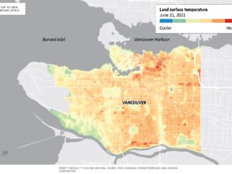
Heat waves are seemingly becoming more intense and more dangerous for vulnerable populations. GIS has helped to pinpoint the hottest neighbourhoods of the largest cities throughout Canada and illustrate which regions are most at risk […]

