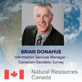
NRCan’s Canadian Geodetic Survey is responsible for defining, maintaining, and providing access to the Canadian Spatial Reference System (CSRS). In this talk from the Information Services Manager Brain Donahue on Day Two of GeoIgnite 2021, you can learn about projects, tools, and services the Canadian Geodetic Survey is involved in and what’s to come in the future as well. Watch the video below.
Canadian Geodetic Survey – Supporting Accurate Geospatial Positioning in Canada
Brian Donahue works with the Canadian Geodetic Survey, Natural Resources Canada and is currently the Information Services Manager of the Geodetic Integrated Services Unit. He is also the chair of the Canadian Geodetic Reference System Committee (CGRSC), a Federal-Provincial-Territorial working committee of the Canadian Council on Geomatics (CCOG), which is responsible for planning geodetic reference system improvements in Canada.
Watch more panels, keynotes, and talks from GeoIgnite 2021 on our YouTube channel.


Be the first to comment