
Monitoring Extreme Weather for the Sake of Canada’s Crops
The GeoIgnite 2022, Winter Geo, Canada’s National Geospatial Conference, saw Catherine Champagne, an Environmental Scientist with the National Agroclimate Information Service (NAIS) at Agriculture and Agri-Food Canada (AAFC), speak on the impact extreme weather has on agricultural production and food supply in Canada.

During a livestream, Champagne explained Canadian agricultural production is determined by the weather and climate. Due to climate-related impacts, there has been financial losses into the billions, with an expectation to see an increase. She says the agricultural sector has the ability to take a major role in mitigating greenhouse gasses.
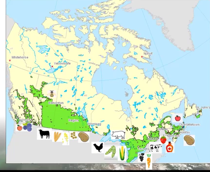
The National Agroclimate Information Service monitors these climate-impacts using geospatial tools to gather information and make decisions regarding agriculture. Canada is a large country, and climate changes will not be the same from one area to the next, so this poses challenges with production, water stress, heat stress, pests, and disease.
The livestream revealed the many ways, and reasons, the AAFC monitors extreme weather. There are extreme weather indicators that are useful one to four weeks ahead. Drought indicators measure issues such as how much water is in the soil. Champagne also talked about the Canadian Crop Yield Forecasting System, Climate Risk reports, Forecasts, Global Crop Marketing, and more.
The Geomatic department works hard to develop web applications so people can explore data sets and make charts, which is a great tool for analysis. There are websites with links, tools and applications available.
Champagne said geospatial data is needed to monitor, evaluate, and report climate-related events and trends. To get “the full picture” of these climate impacts, crowdsourcing, satellites, modeled data and station networks should be used. She also noted Improved spatial resolution and indicators will allow better response to extreme weather.
Following Catherine Champagne’s livestream presentation for GeoIgnite 2002, Winter Geo, there was an information packed Q and A session. You can watch this presentation on YouTube below.


Be the first to comment