
In geospatial terms, conflation is the process of combining two or more datasets that describe the same geographic features, like roads, addresses, buildings, or points of interest, into a single, unified, and accurate representation. Conflation happens when “two related but distinct items become confused until there appears to be only a single identity.”
Why does conflation happen ?
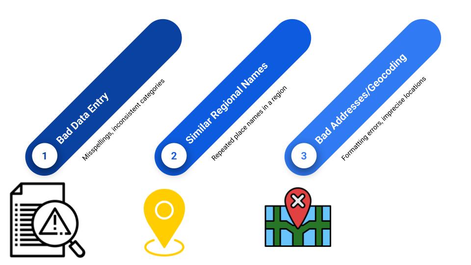
Conflation happens because places are inconsistently created and recorded by humans, introducing ambiguity across data sources. three core issues drive these inconsistencies:
- Bad Data Entry: People enter place names in different ways, often misspelling or categorizing them inconsistently. For example, the same business might appear as “Starbucks,” “Star-Bucks,” or “Starbucks Cafe,” making it difficult to determine if these entries refer to the same entity.
- Similar Regional Names: Many locations use similar or repeated naming conventions ( “Main Street” in Canadian towns). These regional naming overlaps can lead to false duplicates or missed matches when merging datasets.
- Bad Address Formatting and Geocoding: Formatting conventions vary by platform and region, leading to inaccurate or imprecise geocoding. An address might be interpreted differently across systems, resulting in mismatched locations that are pinned meters, or even kilometers, off from their real position.
These issues compound when organizations attempt to merge datasets from different sources (e.g., federal vs. municipal), leading to discrepancies in geometry, attributes, or both. The result is a need for complex conflation workflows, often semi-automated, but still reliant on human oversight, to clean and unify data into a coherent map.
OK, Now What? What Is the Solution?
If conflation is such a persistent and human-driven challenge, how can we solve it at scale? especially in a world where accurate maps power everything from emergency response to autonomous vehicles?
One answer is the Overture Maps Foundation.
Overture Maps Foundation
Overture Maps Foundation is a collaborative, open-data initiative formed by major tech and mapping players, including Meta, Microsoft, Amazon AWS, TomTom, Esri, Uber, and others, launched in 2022. Their goal is to build a global, high-quality base map that is open, continuously updated, and interoperable across systems and platforms.
The Overture Maps Foundation tackles conflation by:
- standardizing geographic features using a unified schema;
- employing matching and validation processes (including assigning single stable IDs across sources);
- and maintaining open‑data tools and documentation so that governments, startups, and researchers can more readily adopt interoperable map datasets.
Check out the Overture Maps github: https://github.com/overturemaps
Could Overture Solve Conflation for Canada?
While the Overture Maps Foundation holds significant promise for addressing conflation, the question remains whether it can solve conflation in the Canadian context.
We will tackle this in our next article. Stay tuned!


Be the first to comment