Aging infrastructure
The water infrastructure crisis and the evolution of asset management at a small water utility
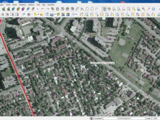
Last week at the GIS in the Rockies annual conference in Denver Elthron Anderson of Southgate Water and Saniation Districts gave a very insightful presentation on the evolution of asset management at a small water […]