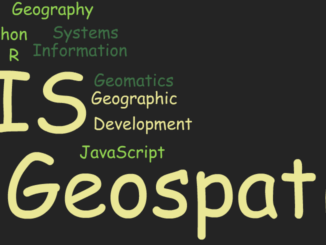
Between the Poles – The Geoff Zeiss Archives
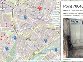
OpenGridMap: open, crowdsourced project to map power grid infrastructure
Earlier this year on a Sunday renewable power supplied almost all of Germany’s power demand, a major milestone in Germany’s “Energiewende” policy. The transformation of the grid (called by some a revolution) is being driven […]