3D data
Burgeoning market for shareable subsurface geotechnical information
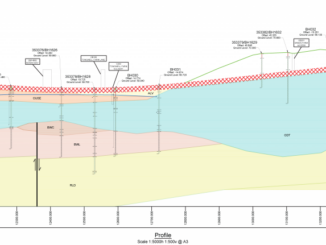
Unforeseen ground conditions are a major cause of delays in construction projects. This year, at Bentley Systems’ Year in Infrastructure Conference, Roger Chandler, Director of Geotechnical Information Management, announced OpenGround, a collection of applications for […]