Newsmakers & Press Releases
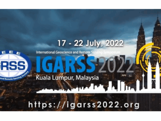
The International Geoscience and Remote Sensing Symposium (IGARSS) 2022
The International Geoscience and Remote Sensing Symposium (IGARSS) is the flagship conference of the IEEE Geoscience and Remote Sensing Society (GRSS). It is aimed at providing a platform for sharing knowledge and experience on recent […]