Clement Charre Receives GeoIgnite 2021 Volunteer Award
Ladies and gentlemen, the GeoIgnite 2021 Volunteer of the Year — Clement Charre!
The first time I met Clement Charre was late summer of 2019, a month or so after the inaugural GeoIgnite conference in Ottawa.
Clement and his family had moved from France to Ottawa to work. I learned he is a GIS specialist with great experience in municipal government. We chatted over coffee on Kent street and discussed the conference as well as GIS work in Canada.
Clement was quick to offer his help with GeoIgnite as a volunteer for the next year. We started working together a couple of months later on GeoIgnite 2020.
Clement and I put together a program for associations and media in the community, not just here in Canada, but globally.
COVID saw us pivot in May 2020 to our online format and Clement continued to help build relationships.
Fast-forward to GeoIgnite 2021, and Clement once again volunteers and joined the GeoIgnite conference advisory committee. That group helps guide me on the content and themes for the community.
Clement expanded and managed many of our global partnerships throughout this time.
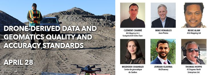
With that on his plate and working at his regular job, he went further and working with Regie Alam put together a “Drone-derived data and geomatics quality and accuracy standards workshop” for the conference.
The workshop was very successful with hundreds attending.
For all these reasons I have chosen Clement as our GeoIgnite 2021 award winner for volunteering.


