International Geospatial Briefing Feb 14th: 1. GIS in Transportation; 2. Black Culture Mapped Across the U.S.; 3. Geospatial Trends to Watch in 2022; 4. GIS & Disaster Damage Assessments; 5. Improving Opportunities for Women in Geospatial Careers; 6. Using AI to Measure Antarctic Surface Ice; 7. Tracking Wildfires in the Arctic
India using GIS to Improve and Expand Transportation Infrastructure
India has the second-largest road and rail network in the world, and the logistical costs are higher than other countries of similar scale. These high costs are detrimental to both consumer spending and economic prosperity. Simultaneously, there is a compelling need to increase goods movement by rail to reduce the load on road transport and lower CO2 emissions. Slow technology adoption and inadequate digitization of transportation processes is a major challenge that is crippling the sector’s competitiveness and growth.
The future of the Indian transport industry will be carved by radical transformations through major disruptive technologies, from intelligent transport systems to autonomous and remotely piloted vehicles. Advanced GIS capabilities like spatial modeling and predictive analysis empower the industry with improved inventory management, fleet optimization, and trip productivity. This will enhance quality, optimize resources, and reduce the cost of operations. The benefits of GIS extend to optimizing fuel consumption, reducing CO2 emissions, and minimizing empty truck returns, thereby improving the economic viability of the operations while strengthening the country’s food and water resilience.
Find out more here.
New Interactive Map is a Guide to Black Culture in Cities Across the U.S.
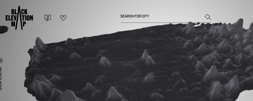
Black & Abroad, an online resource aimed at redefining the modern Black travel experience, is kickstarting February with another meaningful campaign that’s turning heads and garnering plenty of attention online. Launched in conjunction with the start of Black History Month, the latest project from the company is The Black Elevation Map, an interactive online platform that visualizes Black cultural data as elevation on a U.S. map—and helps travelers to discover more about Black communities within the destinations they visit.
Using information from a variety of resources such as Yelp and the U.S. Census Bureau, the map illustrates over 30,000 data points, including Black population numbers, historical markers, Black-owned businesses, and social media activity. Where there’s a greater density of data—meaning higher numbers of Black businesses or people, for example—the higher the elevation is on that area on the map. The map is an excellent example of an informative web map application that is both intuitive and easy to use.
Geospatial Trends in 2022
Dr. Qassim breaks down some of the most important and innovative technologies and ideas in geospatial science and GIS. GIS users can look forward to developments in everything from virtual reality to hand-held lidar sensors. Car manufacturers and sustainable energy producers are especially well-positioned to benefit from the current technology trends. To learn more about virtual collaboration rooms, mixed reality, digital twin and the metaverse, read the full article here.
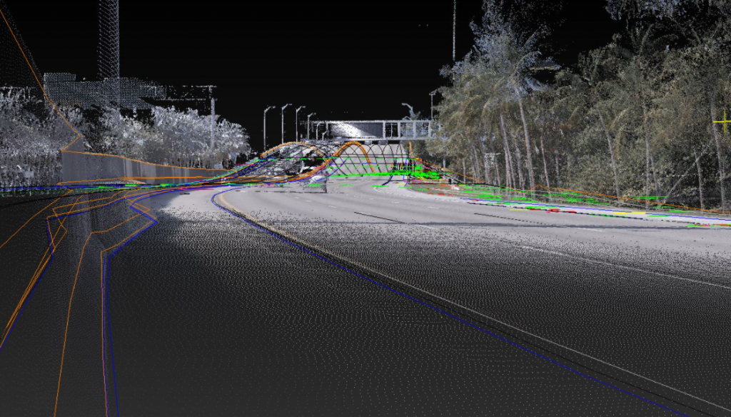
Dewberry Provided Geospatial Damage Assessments Across Kentucky and Colorado
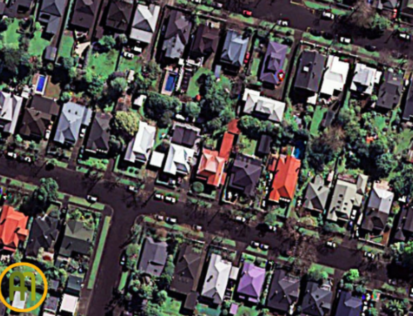
Dewberry, a privately held professional services firm, has provided geospatial damage assessments in response to the tornadoes that impacted Kentucky and other Midwest states, and the wildfires in Boulder, Colorado. Dewberry runs a machine learning model that identified properties damaged by the tornadoes. Damages were identified using FEMA’s classification system of affected damage, minor damage, major damage, or destroyed. Additionally, the firm supported FEMA and Civil Air Patrol teams conducting visual damage assessments using the NICB imagery.
These efforts will hopefully be used to help identify temporary housing locations for disaster survivors and expedite assistance following natural disaster events. Visual assessments will be expedited, helping federal aid initiatives for survivors. Hopefully, this kind of research will lead to more wide usage of remote sensing capabilities in damage assessment.
Rung for Women Creates Geospatial Program to give Women Career Opportunities
Rung for Women, a career services nonprofit, has received a $250,000 federal grant to train women for careers in the geospatial industry. The U.S. Department of Commerce provided the funding through its STEM Talent Challenge, which supports science, technology, engineering and math training across the nation. Rung for Women created a certificate program with Maryville University to prepare more women, especially women of color, for the field. It will begin next summer.
Women who participate in the training can earn a certificate through a 10-week course that will teach professional skills, such as time management, communication and cognitive functioning skills — problem-solving and critical thinking. Participants will then work through a 12-week geoanalyst training program, preparing them for data analysis roles in remote sensing and GIS. This program can be a kickstarter for women interested in a field long dominated by men. Find out more here.

Grant to Help Scientists use AI to Better Measure Antarctic Surface Ice
A $300,000 National Science Foundation grant will help scientists develop artificial intelligence (AI) to better analyze imagery from satellites and other remote sensing devices that are currently monitoring surface ice in the Antarctic. According to the researchers, the melting of ice in Antarctica could serve as a warning sign of greater climate problems having global repercussions.
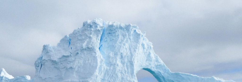
Currently, scientists do not have regular access to high-resolution imagery of melting surface ice in the Antarctic. Researchers propose using a type of artificial intelligence, called conditional generative adversarial networks — or C-GAR — to analyze data from the MAR — Modèle Atmosphérique Régional — regional climate model, which includes specific data on Antarctica, such as runoff, surface meltwater, temperature and solar radiation. Generative adversarial networks, as the name suggests, rely on competing algorithms to create accurate models. This AI system will then produce maps that are in much finer detail.
The Connection Between Wildfires, Permafrost, and Ecosystem Changes in the Arctic
Fires not only change vegetation, but the permafrost and lead to the formation of thermokarst. Arctic permafrost stores 33% of Earth’s organic carbon, even though it covers only 20% of the planet. It also acts as the structural foundation, physically and ecologically, for the entire pan-Arctic region. Permafrost thawing has cascading effects on the hydrological conditions of the landscape and ice and also triggers changes in vegetation and releases stored carbon.
Thermokarst is the result of the degradation of permafrost and provides reduced carbon sequestration and fewer niche ecosystems than permafrost. Unfortunately, we have poor knowledge about the presence of permafrost; we don’t know where it is or how much there is of it.
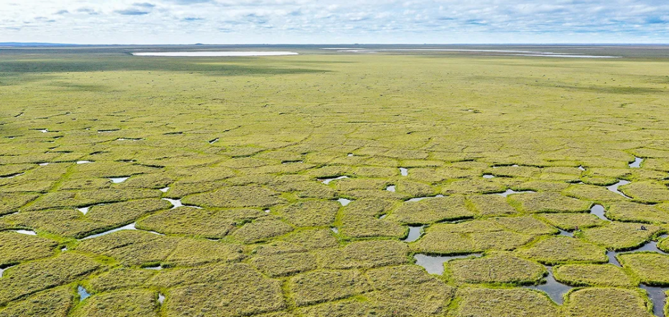
Research was conducted using 7 decades of high resolution imagery to understand how fires and climate change stimulate thermokarst formation. They focused on the Noatak National Preserve in Alaska because it’s warm, it’s getting warmer—already 2.1°C warmer than it was in 1950—and it had the most fires during the period studied. Overall, researchers found that between 1950 and 2015, the incidence of thermokarst formation increased by 60% because of the combination of wildfires and climate change. The findings were published in One Earth. You can find out more here.


