International Geospatial Digest August 28, 2023
- Ordnance Survey partners with OxTS
- Aerial imagery maps historic archaeology of South Downs
- Maxar and Esri expand partnership, adding Precision3D in the Living Atlas of the World
- How Kaua’i County uses GIS to future-proof development
- National Geospatial-Intelligence Agency (NGA) Releases
- 3D maps now available for over half New Zealand
Ordnance Survey partners with OxTS
As a Great Britain mapping agency, the Ordnance Survey (OS) has been responsible for recording and maintaining around 500 million geospatial features in the National Geographic Database of the nation and making more than 20,000 daily updates since 1791. The organization has been facing some challenges in building an accurate digital representation system and integrating the software applications they have been using.
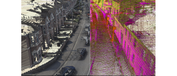
Ordnance Survey’s initial point cloud results. Source: https://www.gim-international.com/case-study/ordnance-survey-partners-with-oxts
For the solution, OS partnered with OxTS and got support from Datron Technology, a local company and OxTS partner for many years to develop a more cost-effective and sustainable mobile mapping system. Read more here
Aerial imagery maps the historic archaeology of South Downs
In a new research, Historic England explored aerial imagery of South Downs archaeological sites from the Neolithic era to the Second World War features. This research also includes a crowdsourcing mapping project that asks the public for help. There are modern developments in some of the mapped areas and researchers need visitors to find out how these developments affected the sites. Also, Historic England encourages people to add their own memories and images of these sites to the interactive map to help improve the stories of heritage sites. Read more here
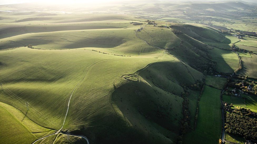
Historic England hopes the project will inspire people to explore the heritage of the South Downs Source: https://www.bbc.com/news/uk-england-sussex-66439576
Maxar and Esri expand partnership, adding Precision3D in the Living Atlas of the World
ArcGIS users can now access Maxar Precision3D data in Esri’s ArcGIS Online Living Atlas of the World. It happened after Maxar and Esri announced their partnership expansion at the end of June this year.
What is Precision3D? Precision3D functions as a base for 3D digital twins in different sectors, employing aerial images from Maxar’s fleet to build models with a resolution of 50 cm and a high accuracy of three meters Spherical Error 90 percent. It helps users especially those who are interested in making digital twins of neighbourhoods, cities, or whole nations to easily acquire precise large-scale data. Read more here

via Maxar Source: https://www.geoweeknews.com/news/maxar-esri-precision3d-arcgis-living-atlas-of-the-world-digital-twins
How Kaua’i County uses GIS to future-proof development
After the recent devastating wildfires on Maui island, the sea level rise is recognized as one of the issues that has a huge effect on real estate and development projects. Stakeholders cannot prevent natural disasters from occurring but they can alleviate their negative effects in future with better planning.
GIS technology helped Kaua’i County to build a first-of-its-kind Sea Level Rise Constraint District. This platform is designed to confirm the safety of any new development from the effects of sea level rises all over the building’s lifecycle. Read more here
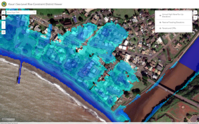
Screenshot of Sea Level District Constraint Viewer | Image via Kaua’i County
National Geospatial-Intelligence Agency (NGA) Releases New Global Population Data
NGA and Oak Ridge National Laboratory’s partnership led to the LandScan Global 2022 dataset’s public availability. This global population distribution data is released in a high resolution with a 24-hour ambient population. Organizations with mandates like emergency responding, human health and security risks evaluation and more can significantly benefit from public access to this dataset.
NGA also publicly presents LandScan High-Definition which supplies a population distribution dataset for smaller geographies with about 90-meter resolution. A full list of LandScan products is available for download here.
Read more here
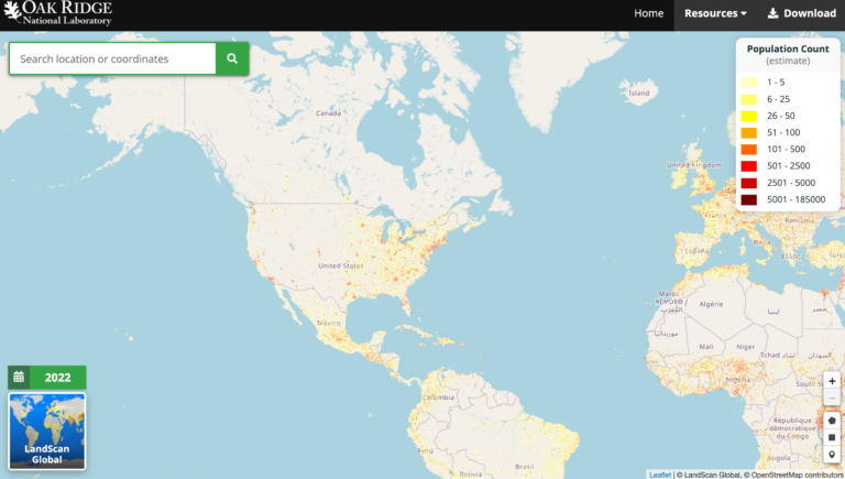
LandScan Global 2022 map Source: https://landscan.ornl.gov/
3D maps now available for over half New Zealand
The Toitū Te Whenua Land Information New Zealand provided the public free access to 3D mapping data for more than half of the nation. Lidar technology has been utilized to take highly detailed terrain data. This information will be beneficial for a variety of sector organizations across the country.
This highly accurate baseline data will help evaluate changes caused by natural disaster events. Emergency responders will be able to understand an event’s effects and facilitate the recovery process after an emergency. Read more here
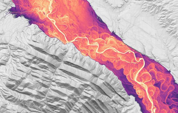
3D image of Mataura River, Southland’s longest river. (Image source: Land Information New Zealand)


