Canada’s National RPAS Program Debuts at GoGeomatics Expo
RPAS platforms and sensors have made significant strides since their commercial adoption almost a decade ago, quickly becoming essential tools for many professionals. This trend reflects the industry’s eagerness to embrace new technologies and apply them effectively. At the National Geomatics Expo, experts from various sectors of Canada’s Geospatial RPAS scene will delve into the drivers behind sensor development and future advancements in use cases, regulations, cost efficiency, and data quality. Dr. Tim Webster will highlight advancements in drone positioning and sensor comparisons, while Graham Anderson of Spexi will showcase a revolutionary approach to aerial imagery through crowdsourcing. Join us to explore these groundbreaking innovations and their implications for the future of geospatial intelligence. Stay tuned for more announcements, keynotes, and additional speakers coming soon.
PANEL: The Evolutionary Nature of RPAS Sensor Development
RPAS platforms and sensors have come a long way since their commerical adoption almost a decade ago and have quickly become a main stay of many professional’s tool kits. This show’s the industry’s appetite for adopting new technologies and matching them up with the right application. With a pannel of very experienced professionals from various sectors of Canada’s Geospatial RPAS scene, we explore what has driven sensor development and how sensors might further develop along the lines of use cases, regulations, cost efficiency and data quality.
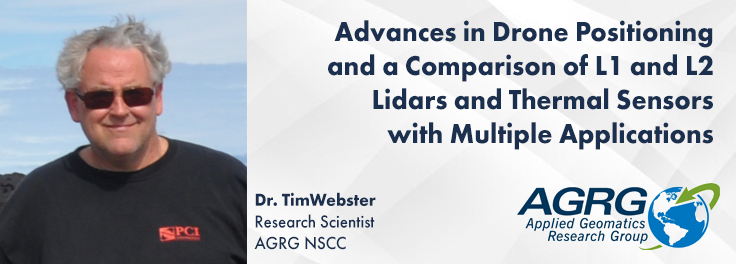
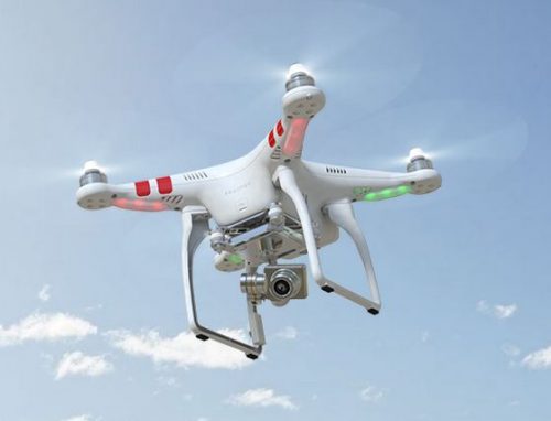
Dr. Tim Webster will discuss the use of the DJI Matrice 300 RTK drone with Structure from Motion (SfM) for precise surveying and high-resolution mosaics. By mounting DJI L1 and L2 lidars, and sensors like RGB, multispectral, and thermal, his research highlights the ability to achieve high accuracy with minimal ground control. Despite battery limitations, the study found the L2 lidar superior in forest structure details and accuracy compared to L1. Dr. Webster will also cover experiments comparing thermal sensitivity of DJI HT20 and MicaSense Altum-PT sensors, and demonstrate applications in coastal and forestry areas using these advanced technologies.
The Earth Imagery Upgrade – Small Drones, Big Pictures
Join Graham Anderson of Spexi as he presents a revolutionary approach to aerial imagery. Unlike the trend of developing larger drones with bigger sensors, Spexi leverages crowdsourcing by deploying local pilots with small drones to capture standardized imagery across cities. This method allows for unprecedented scale and detail in geospatial data collection. Anderson will discuss Spexi’s strategy of incentivizing decentralized imagery collection, reducing costs and environmental impact, and democratizing access to high-quality aerial data. Explore the technology, challenges, successes, and future implications of Spexi’s innovative model in transforming geospatial intelligence.


