Association Sponsors Announced for Canada’s National Geomatics Expo
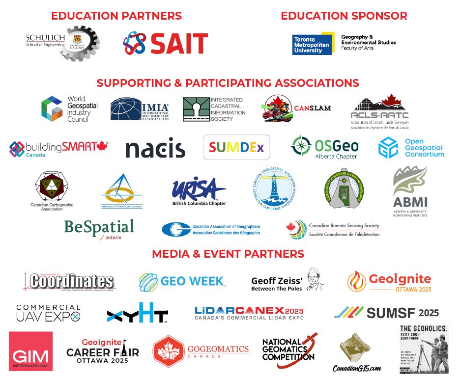
We are pleased to announce and express our sincere gratitude to the association sponsors supporting the 2024 National Geomatics Expo in Calgary from October 28 to 30. These associations are key to bringing the geomatics community together, providing essential resources, and driving forward innovation within the sector. We warmly invite other associations to join us in this meaningful endeavor. For sponsorship opportunities, please reach out to us at info@gogeomatics.ca.
The ABMI is a leader in biodiversity monitoring. We work collaboratively to provide ongoing, relevant and scientifically credible information on Alberta’s living resources. We are an organization filled with bright minds, diverse expertise, and valued partners and collaborators.
Incorporated in 1970, the Alberta Society of Surveying and Mapping Technologies (ASSMT) is a nationally recognized Association which provides accreditation for qualified individuals involved in surveying, mapping and related geomatics occupations.
Members have typically graduated from a society recognized post-secondary technical institute or college program and have been granted certification by the society. ASSMT promotes continuing education, member recognition and improvement of the standard and standing of survey and mapping technicians and technologists throughout the industry.
The Association of Canada Lands Surveyors (ACLS) is the national licensing body for professionals surveying in the three Canadian territories, in the Federal parks, on Aboriginal reserves, as well as on and under the surface of Canada’s oceans. It is a self-governing, non-profit, non-governmental organization that manages the activities of its members in the field of cadastral (boundary or legal) surveying.

The Association of Ontario Land Surveyors (AOLS) was established in 1892. It is a self-governing association, responsible for the licensing and governance of professional land surveyors, in accordance with the Surveyors Act. As with all self-governing professions, the AOLS has a responsibility to ensure that the public interest is paramount.
A geospatial and information community that is recognized as the premier non-profit organization in Ontario where members share their experiences through networking and program events for the use and integration of spatial data, information, applications and technologies that provide solutions and solve challenges in both the public and private sectors.
The Association offers a strong network of over 1,500 individual and group members as well as outreach and collaboration with affiliates from all levels of government and the private sector. Connect today to begin networking and sharing information with Ontario geospatial professionals, GIS applications and technology providers, consultants, educators, students, and business professionals.
Participate as a program presenter, volunteer on a committees, share with us on social media about geospatial opportunities, challenges, services and new technologies related to spatial information systems and integrated solutions.
The Canadian chapter of buildingSMART International has been established to provide the appropriate body and home for Canadian BIM Standards Development through participation in the development of international BIM standards as the voice of the Canadian marketplace and to promote the awareness of buildingSMART International (bSI) within Canada.
The CCA is a non-profit association created to promote the disciplines and professions of cartography and Geographic Information Science in Canada. Our broad membership represents academia, all levels of Government and private industry, and includes fellow cartographers from coast to coast, and Internationally.
The CCA plays a leading role in the world of cartography through involvement with the International Cartographic Association (ICA). The Canadian National Committee (CNC) , chaired by a CCA nominee, is responsible for coordinating Canadian participation in the ICA, and has such specific responsibilities as appointing representatives to commissions and committees, preparing a biannual cartography exhibit, publishing a biannual national report on Canadian cartography, and facilitating the submission of technical papers for presentations at ICA events.
The Canadian Association of Geographers (CAG) is a non-profit, charitable organization that is committed to the dissemination of geographic research and the promotion of geography as a key discipline in education, research, and in the public and private sectors, nationally and internationally. Members of the CAG are part of a community of geographic scholars and professionals who are highly engaged on social, environmental, and scientific issues. The CAG hosts an Annual Conference, with discounts on registration for members and travel grants for students. At this conference, geographers from across the country and beyond are provided with an opportunity to meet, network, and share their ideas about the theories, methods, and practice of geography, and to share their passion for the discipline. Being a member means joining a network of peers and mentors to collaborate and share ideas about Canadian geography research, education, and practice. The CAG works for Geographers!
The Canadian Hydrographic Association (CHA) is a non-profit organization focused on advancing hydrography in Canada. We provide a platform for professionals from various sectors to exchange information and promote the discipline. Our goals include raising national awareness of hydrography, supporting education and training, and fostering international collaboration. We achieve these objectives through regular events, board meetings, our website, newsletters, and international conferences.
The CRSS is a fully independent, not-for-profit professional society that provides a focal point for leadership and excellence to advance the remote sensing field. We maintain partnerships with other organizations in the remote sensing field, across Canada and abroad. Our annual Symposium and the Canadian Journal of Remote Sensing provide opportunities for our members to network and continue their learning about all aspects of remote sensing. We also recognize excellence among our members through our National Awards.
The CanSLAM Circuit 2024 is a reality capture demonstration event that first launched in 2023 for mobile mapping and simultaneous localization and mapping (SLAM) equipment manufactures to put their gear to the test.
Every year, we create SLAM courses to gather data and release the results to the public to increase awareness about SLAM technology and performance.
The ICI Society was created to facilitate the sharing of location intelligence data – a key step leading to better decisions and better outcomes for its members and their stakeholders, the people of British Columbia. Today we are recognized nationally and internationally for our success in this regard, particularly our ability to bring all levels of government, utilities, and First Nations together.
We know that every great decision rests on a foundation of data. Equally, we know that access to data rests on the ability to forge strong social connections between people. We have the ability to bring people and data together to do something that would not be possible through solo or independent action, however well intended. We know that better outcomes for everyone can only happen when the people and the data they own come together in service of something bigger than their individual aspirations. This is why we exist.
The International Map Industry Association (IMIA) is dedicated to fostering the growth of the mapping industry through the exchange of ideas and information, the education of industry trends and technologies, and access to a wide spectrum of mapping leaders. Our global organization, based in the United States with board members from around the world, is one collective group with one voice advocating for the growth and success of the international mapping industry. Connecting the business of maps worldwide is our number one priority.
Join us in Tacoma, Washington for the North American Cartographic Information Society (NACIS) Annual Meeting, October 16–19. Our diverse community of map enthusiasts is comprised of specialists from private, academic, and government organizations with a shared interest in facilitating communication in the geospatial and map information spaces. Enjoy specialty-themed sessions, panels, workshops, field trips, map gallery, and this year’s distinguished keynote and banquet speakers, Nick Zentner (of the Emmy award winning PBS series Nick on the Rocks) and Dr. Danica Sterud Miller (Puyallup Tribe of Indians). Please visit our annual meeting website for the latest details. Registration opens in July!
The Open Geospatial Consortium (OGC) is an international consortium of more than 500 businesses, government agencies, research organizations, and universities driven to make geospatial (location) information and services FAIR – Findable, Accessible, Interoperable, and Reusable.
OGC’s member-driven consensus process creates royalty free, publicly available, open geospatial standards. Existing at the cutting edge, OGC actively analyzes and anticipates emerging tech trends, and runs an agile, collaborative Research and Development (R&D) lab – the OGC Innovation Program – that builds and tests innovative prototype solutions to members’ use cases.
The OSGeo Alberta Chapter supports collaboration among people in Alberta and surrounding areas in the use and development of open-source geospatial tools and projects. As part of the Open Source Geospatial Foundation (OSGeo), a not-for-profit organization dedicated to fostering global adoption of open geospatial technology, the Alberta Chapter embodies the foundation’s mission by promoting an open philosophy and encouraging participatory, community-driven development in the geospatial field.
The Subsurface Utility Map Data Exchange (SUMDEx) project is an initiative to improve the damage prevention capabilities of everyone involved in performing groundbreaking activities on or near buried infrastructure.
The World Geospatial Industry Council (WGIC) is a registered Not-for-Profit trade association of commercial geospatial companies representing the geospatial ecosystem’s entire value chain. WGIC aims to enhance the geospatial industry’s role and strengthen its contributions to the global economy and society. WGIC facilitates the exchange of knowledge within the geospatial industry and creates more significant business opportunities for the stakeholders through partnerships and collaborations in thematic areas of global significance.
URISA BC is a chapter of the Urban and Regional Information Systems Association (URISA) which is a non-profit international association of information technology professionals with specific emphasis on applications in state and local government. URISA is also the premier organization for the use and integration of spatial information technology to improve the quality of life in urban and regional environments.


