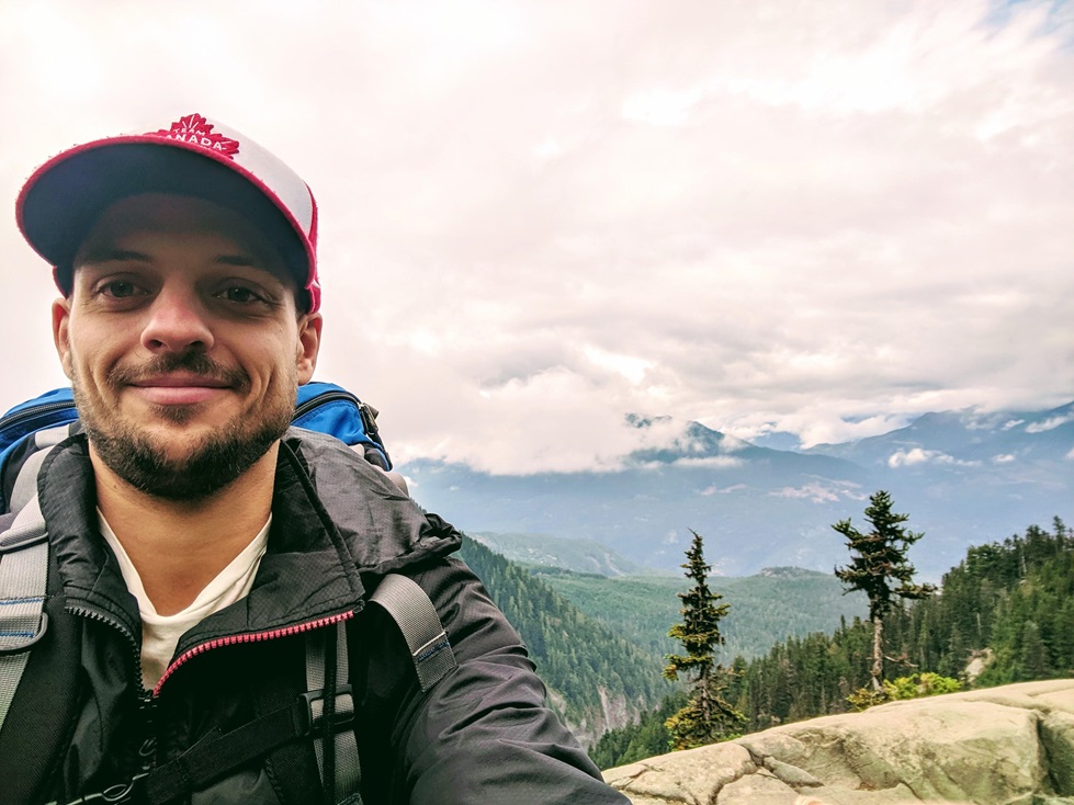

My name is Aaron Chaput and I’m a GIS Specialist. I live in Victoria, B.C., Canada, and have worked for McElhanney Ltd. for my entire 10-year career. McElhanney Ltd. is the oldest, employee-owned engineering and geomatics firm in Canada and was founded in 1910. Even though I’ve worked for the same company my entire career, neither myself, my work, nor the company has remained the same.
I recently achieved the milestone of 10 years in the GIS industry. In some ways, I can’t believe it has already been a decade. However, as I reflect on the different roles, branches, bosses, teams, and projects I’ve worked on over the years, maybe 10 years doesn’t seem that outlandish. I’d like to reflect on the things I’ve learned over my 10 years in the industry and offer what advice I can.
Even though I’m from Victoria and graduated from the University of Victoria, my first job out of university was for the Grande Prairie, Alberta branch of McElhanney. I never envisioned myself living in northern Alberta, but sometimes you have to step outside your comfort zone especially to get that first job. I stayed in Grande Prairie for a year mostly working on maps for the oil and gas industry. After a year, I was able to move back to Victoria and work remotely. After a short stint there, I moved to the mainland to work for the Vancouver branch. During the COVID-19 pandemic, I moved back to Victoria and have been working remotely ever since.
Over the years, my work expanded beyond oil and gas to other resources, First Nations, government, transportation, land development, disaster response, asset management, and probably some others I’m forgetting. The varied work was great as it kept me interested, but also kept me working when some sectors were struggling. These final few years of my first 10 years in the industry have gone by slowly and quickly at the same time. A pandemic can do that. I was lucky enough to be able to fall back on my previous experience working from home so the abrupt change wasn’t too jarring. It was during some of these lockdown months that I had the idea to reflect on my first decade in the industry and to distill that reflection into three insights.
Embrace New Technology
When I first started at the University of Victoria way back in 2006, we did the vast majority if not all mapping on ArcMap. I honestly don’t remember using other programs. Jump ahead 17 years and I haven’t used ArcMap in years. I do 100% of my map production with ArcGIS Pro. Other programs I use frequently include FME, CAD, or other ESRI products (Survey123, Field Maps, Enterprise, StoryMaps, Dashboards, Experience Builder, etc.) that weren’t taught or didn’t exist back then. To put it another way, I’ve learned every program I currently need (aside from Microsoft Office products) on the job. That isn’t to say school was a waste of time. At school, I learned all my coding skills (python, HTML), advanced Office skills in mostly Excel and Word, and the greater context of how GIS fits into the world and why it matters. I just never thought way back then that I would learn so many new programs on the job. To be fair, ArcGIS Pro isn’t a completely new paradigm to ArcMap. It is more of an evolution as most of the same principles and tools have been carried over (although some may say not enough). That isn’t to say the change is trivial. The UI and layout are drastically different. I know people who still haven’t made the switch because Pro is not as intuitive to them as ArcMap was. They’ve memorized the location of the tools and processes they need in ArcMap and don’t want, or don’t have the time, to learn it all over again in Pro.
My key takeaway from this is that the software we use daily will change many times throughout a full career. Being able and willing to learn new software is essential to staying relevant (and employed) in a rapidly changing job landscape. Putting all of your eggs into one basket or one program, so to speak, is limiting and potentially risky for job retention. Learning to be able to learn is what school does so well and why it is essential to a strong foundation for a GIS career.
Have a Specialized Skill
From my experience, there seem to be many more people trying to do GIS as a career than there are good jobs available. This is especially true for people right out of school with little to no experience. There will usually be opportunities in remote or less desirable locations, but as remote work becomes more common, being willing to move somewhere others won’t is a less sure way to get a job. If there are dozens of people with similar educations vying for the same limited number of jobs in a desirable location, how can you stand out as a candidate?
You could be the most impressive candidate with the best grades and references, but that isn’t viable for the majority of people. I believe it is incredibly valuable to have a specialized skill that most candidates may not have. This may not apply to all industries in which you may find GIS jobs, but I think it can be a real differentiator in the hiring process and remaining vital to a company.
For example, I am a certified FME Professional and that skill (and certification) has proven incredibly useful at McElhanney. FME was not something I learned at school (although I assume this is taught in most curricula these days), but I was directed into it quickly once I was hired. This was probably due to my background in programming. At first, I applied my basic skills to narrow problems for small projects – mostly converting from one format to another or simple reprojection. As my experience grew from project work and my knowledge expanded from webinars, I took on more complex and challenging problems. I ended up carving out a niche for myself within my company. I was one of many GIS techs, but I was the only certified FME Professional in the company. This designation helped my company win contracts and internally helped me get brought into projects that wouldn’t have needed standard GIS services but could use my FME skills. FME as a specialization is one example and it completely depends on the needs of your company and your strengths. Some other specializations that could be useful include CAD, Javascript, Python, (or many other programming languages), and drone flying.
Having a specialized skill (or two!) to add to your repertoire can help you stand out from the GIS crowd – both while looking for a job or within your company. Plus, it can help keep things fun and interesting over a long career.
Connect with Others
There are many reasons to maintain great working relationships both within and outside GIS, but I’ll highlight three of them: learn GIS skills and processes that you might not discover on your own; develop a greater understanding of how GIS is used in many different disciplines and how your work fits into it; educate other disciplines on what GIS is and how it can help solve problems.
What COVID highlighted and full-time working from home solidified, is that it is harder to have those organic, sporadic, short conversations with other people at work. Since I no longer casually chat with other GIS technicians daily, I’m missing that sort of learn-by-osmosis that happens in office environments. I still talk with my coworkers, but the calls always have a definitive subject and usually do not stray far from it. I realize now that I learned lots of neat tricks or more efficient ways to do tasks when casually chatting with coworkers. Actively calling someone for a casual chat just doesn’t feel right.
Now that I work remotely fulltime, I’ve made more of a concerted effort to go to more industry events in town (GoGeomatics meetups to name one). It’s easy to get overly focused on your projects and your own company so talking with GIS professionals outside your organization adds a different perspective to your work and your company within the GIS industry. I’ve also found it important to attend conferences – both for the educational aspect and the networking aspect. Conferences are a great way to see how GIS is being used around the world and can offer unexpected insights into what direction you might want to take GIS for your work and your company.
Before COVID, I participated in Toastmasters and Young Professionals groups at my office which helped me get to know people outside my GIS division. Having a reason to chat with someone I wouldn’t normally talk to was a great icebreaker for me and helped me be more outgoing. Once those connections have been established, it’s easy to start talking about what you’re each working on and how GIS can help solve some of their problems. Hopefully, actual work will come from that and once they see how useful GIS can be, you’re included in the next proposal. That’s the idea anyway. It doesn’t always work like that, but all it takes is a few of those interactions to pan out to be worth the effort. Despite GIS being the centre of my professional life, it is still surprising to me how many people don’t fully grasp what GIS is or how it can help them solve problems.
Admittedly, connecting with others does not come naturally to me. I have never been the most extraverted person and now that I’m working from home fulltime it is even more difficult to have those daily, weekly, or monthly interactions with coworkers and clients that solidify great working relationships. Nevertheless, I believe strong and varied working relationships to be extremely important for a healthy career, and strive to make and keep them whenever I can.
Conclusion
10 years is a long time on which to reflect. So many things have changed while a few have remained constant. I’m thankful to have spent my entire career at McElhanney where I’ve met some amazing people and worked on some fun and challenging projects.
The continually changing suite of programs I use daily serve as a testament to the ever-evolving nature of the GIS field. The ability to continuously learn new software is essential for professional relevance and longevity.
The GIS job market is competitive, especially for recent graduates, so having a specialized skill can set individuals apart and enhance their career prospects. My FME Professional certification demonstrates how such specialization can benefit both individuals and their organizations.
Lastly, it is important to connect with others in the GIS community. These connections not only facilitate learning and understanding but also play a crucial role in advocating for the value of GIS across various disciplines.
To thrive as a GIS professional, you must embrace change, develop unique skills, and actively engage with peers and industry events. These principles are essential for building a successful and enduring GIS career.


Be the first to comment