
Without accurate maps of underground infrastructure, every construction project runs a significant risk of schedule and budget overruns and causing injuries and fatalities to workers and the public. Underground utility damage also represents a drag of billions of dollars on the Canadian economy. At the GeoIgnite 2021 Canada Underground Forum Canadians will have the opportunity to hear from leading innovators in underground detection and mobile and cloud solutions for reality capture and data sharing, one of the major contributors to the new ASCE 38-21 utility as-built standard, and from governments and regulators who are implementing policies that are dramatically changing how location information about underground infrastructure is captured and shared.
Keynotes, Speakers and Talks at CUF
Geoff Zeiss will lead off with a short context setting; why locating and mapping underground infrastructure is important, why now is a unique opportunity in time for the construction industry, and a brief overview of recent innovations in technology, standards and legislation and regulation. One of the early innovators in applying LiDAR to mapping underground pipelines, Joseph Hlady, President at Lux Modus in Calgary, Alberta will explain n his keynote the benefits that his technology has brought to the oil and gas pipeline industry.

Another early innovator is Otto Ballintijn, CEO of Reduct who has developed inertial or gyro technology for mapping underground pipe networks. In his keynote he will explain the evolution of the technology including the concept, operational method, and data output of gyro mapping technology. A number of jurisdictions around the world are developing digital twins at the urban, regional and even national level.

Alex Shalash of UEVO will discuss creating a city subsurface infrastructure map which unifies fragmented information and produces an intelligent digital twin.

Danny Petrecca of Locusview, an early leader in capturing and managing underground data in the gas industry, will review why as-builting still remains paper-based and discuss a digital construction solution that stitches together existing technologies to create the reliable digital twin that utilities need in the age of the smart grid.

Our chief guest speaker is Jim Anspach, Chair of the ASCE 38 standards group. will bring us up to date on the imminent 38-21 utility as-built standard.

Carsten Roensdorf and Neil Brammall will introduce the Open Geospatial Consortium’s work in progress, the MUDDI standard for exchanging location data about underground infrastructure.

Rob Martindale, Program Manager – Utilities/Railroads at the Colorado Department of Transportation, will present an overview on how a mix of legislation and regulation has enabled Colorado to revolutionize the capture and sharing of accurate underground utility location data.

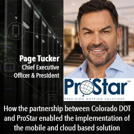
Page Tucker, President & CEO at ProStar which implemented the mobile and cloud solution adopted by the Colorado DoT will speak about how the partnership between Colorado DoT and Prostar made this successful. One of the remarkable new technologies applied to mapping underground infrastructure was developed by 4M-Analytics.
Harel Dan, Head of GIS and Remote Sensing, and Ophir Wainer, Director of North America Business Development, will explain how 4M-Analytics uses satellite and aerial imagery to map underground infrastructure.

Leica Geosystems’ IDS Georadar was one of the early innovators in ground penetrating radar. Simon Pedley, Detection Ambassador at Leica Geosystems will talk about some of the innovations in hardware and software that Leica Geosystems has developed in the last couple of years.

Government has a crucial role to play in locating and mapping underground infrastructure. Gord Reynolds and Alon Gat will discuss how Infrastructure Ontario partnered with Metrolinx and the Ministry of Transportation to establish the Utility Coordination Program (UCP), a new initiative which oversees the development of utility relocation standards and the supporting process to improve the location, treatment and relocation of utility infrastructure.

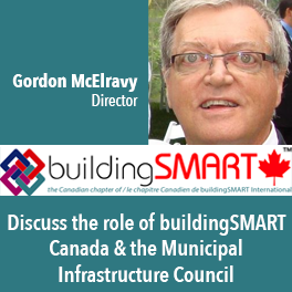
Gordon McElravy, of buildingSMART Canada, will discuss buildingSMART’s efforts in implementing the Municipal Infrastructure Council Program to encourage building information model (BIM) initiatives at the municipal level.
Capping the first day of CUF Prashant Shukle, who was responsible for mapping and earth observation in the Canadian government for many years, will moderate a panel discussion on the role of government in underground infrastructure with panelists from the State of Colorado, the U.K. Government’s Geospatial Commission, Public Services and Procurement Canada, and Infrastructure Ontario.


Be the first to comment