Anusuya Datta
Consulting Editor, GoGeomatics.
A writer and journalist based in the Canadian Prairies, Anusuya has a keen interest in connecting technology with sustainability and social causes. She serves on the board of EO4SDG, and earlier worked as the Executive Editor of Geospatial World. A regular contributor to platforms such as SpaceNews, CBC, AgriBusinessGlobal among others, Anusuya has also delivered guest lectures at the University of British Columbia’s school of journalism on the use of satellite imagery in storytelling.
Articles by Anusuya Datta
Geospatial Industry Trends and Developments that Defined 2024
The geospatial industry continued to evolve rapidly in 2024, driven by technological advancements and the increasing need for accurate and…
What Lies Beneath? Steve Slusarenko on SUMDEx and the Future of Utility Mapping
Underground infrastructure forms the backbone of modern cities, yet its management poses significant challenges worldwide. From safety hazards to substantial…
Balancing Innovation and Responsibility: Ensuring a Sustainable Space for Future Generations
As humanity embarks on an ambitious journey into the cosmos, the need for sustainable practices in space exploration becomes increasingly…
How an Open-Source Digital Twin Platform Could Transform Construction & Infra Industry in Canada
In the rapidly evolving landscape of architecture, engineering, construction, and operations (AECO), technology and data integration are becoming increasingly vital…
Addressing the Challenges of Subsurface Utility Engineering and Underground Infrastructure
Subsurface utility engineering (SUE) is a field where precision is critical – missteps can lead to costly delays, safety hazards,…
Harnessing Earth Observation for Environmental and Industrial Sustainability in Canada
The 2023 State of the Canadian Space Sector Report highlights significant growth in Earth Observation (EO) technologies. In 2022, EO…
GIS Heroes in The Geography of Hope: David Yarnold on Transformative Stories Behind Technology
David Yarnold has authored many impactful stories, including the Pulitzer Prize-winning report on the 1989 Loma Prieta earthquake. As the…
Interview: How FHIMP is Strengthening Canada’s Flood Resilience Amid Rising Climate Threats
Flooding in Canada causes an average of $1 billion in damages annually, but the summer of 2024 was especially devastating,…
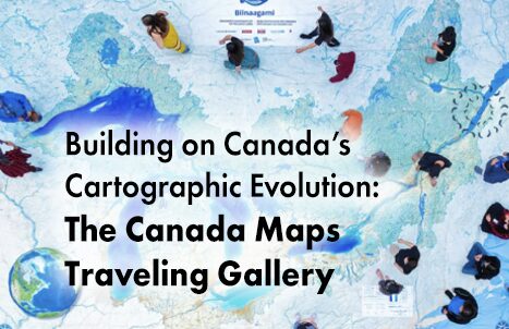
Building on Canada’s Cartographic Evolution: The Canada Maps Traveling Gallery
Mapping has a rich and storied tradition in Canada, reflecting the country’s diverse landscapes and complex geographic features. Indigenous peoples…
Mapping Human Footprint: Uncovering the Hidden Impact on Ecosystems in Canada
As human activities increasingly transform ecosystems, the pressure on biodiversity across Canada is growing. The diverse geography of the second-largest…
Canada’s 2023 Wildfires Released More Carbon in 5 Months Than Annual Fossil Fuel Emissions of Russia or Japan
We know Canada experienced its most destructive wildfire season ever in 2023, which single handedly drove a nearly a quarter of increase…
Interview: The Crucial Role of Geospatial Data and AI in Building a National Flood Strategy for Canada
Canada has faced a surge of extreme weather events in recent years, with devastating floods impacting communities nationwide. These events…


