Technology
International Geospatial Briefing Dec 20: 1. Announcement: SUMSF & Lidar Comex; 2. New Wildfire Dataset; 3. Using Lidar for Autonomous Vehicles; 4. Geography of Religion; 5. The Climate Atlas; 6. Trunk Road Gritter Tracker
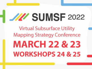
Announcing two conferences presented by GoGeomatics that will take place this spring The first event we are announcing is the Subsurface Utility Mapping Strategy Forum (SUMSF). The conference will take place from March 22-23, 2022 […]