Kruti Mehta

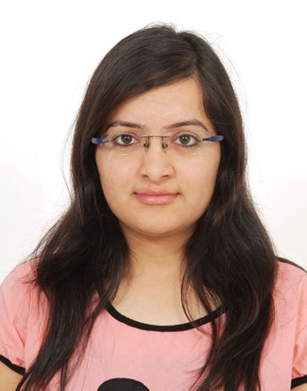
Kruti is a geospatial professional and passionate Ph.D. scholar at the University of Ottawa. She is working on quantifying urban perception using deep learning. Her current research is focused on perceptual walkability using Big Data and Artificial Intelligence (AI). She is working as a Geomatics Officer co-op at Fisheries and Oceans Canada, where she is working towards detection of undersea features. She is from mathematical background and her research area includes Geospatial data analysis, Hydrography, Remote Sensing, Urban planning, Geomatics, GIS, and Machine learning. She has worked as a teaching assistant for GIS courses at the university of Ottawa. She has also worked as a geospatial analyst at Space Applications Centre, ISRO and developed an operational technique to generating classified sea ice images. Kruti is currently looking for new opportunities to bring her passion and enthusiasm to geospatial community.

Articles by Kruti Mehta

Denis Hains

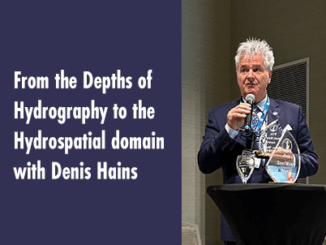
From the Depths of Hydrography to the Hydrospatial domain with Denis Hains

In Part 1, we explored the legacy of Dr. Sam Masry and the importance of the Sam Masry Award, which…

Denis Hains

Des profondeurs de l’hydrographie au domaine hydrospatial avec Denis Hains

    Dans la première partie, nous avons exploré l’héritage du Dr Sam Masry et l’importance du Prix Sam Masry,…

Le Prix Sam Masry remis à Denis Hains lors de la Conférence hydrographique canadienne 2024

Le Prix Sam Masry remis à Denis Hains lors de la Conférence hydrographique canadienne 2024

Réalisations majeures et rôles de leadership de Denis Hains : Fondateur et Président directeur général de H2i : fournissant des conseils stratégiques…

Sam Masry Award presented to Denis Hains

Sam Masry Award Presented to Denis Hains at Canadian Hydrographic Conference 2024

Denis Hains is a leader in the global hydrographic community and is recognized for his substantial contributions, commitment and influencer…

Tim Webster youtube talk

Airborne Topo-Bathymetric Lidar Combined with Thermal Imaging for Fish Habitat Studies in Rivers from LiDAR CANEX 2024

Dr. Timothy Webster, a Research Scientist at the Applied Geomatics Research Group (AGRG) based at Nova Scotia Community College’s Annapolis…

Canada’s Geospatial Excellence: Nurturing Skills for a Sustainable Tomorrow 

Canada’s Geospatial Excellence: Nurturing Skills for a Sustainable Tomorrow

Canada is leading the way in empowering individuals with cutting-edge skills in the field through programs such as Quick Train…

Walkability and Deep learning

Walkability is about how friendly the neighbourhood is to walk. Walkability holds many advantages in terms of environment, health, and…