
At a time when governments are grappling with climate risks, infrastructure demands, and digital transformation, Eric Loubier, Director General of the Canada Centre for Mapping and Earth Observation (CCMEO) at Natural Resources Canada (NRCan), delivered a timely and forward-looking keynote at GeoIgnite 2025.
Titled “Exploring the Potential of AI and Earth Observation to Tackle Critical National Challenges,” Loubier’s presentation at showcased how Canada’s national geospatial strategy is shifting — from traditional mapping to smart, AI-powered decision support systems designed to meet the demands of a rapidly changing world.
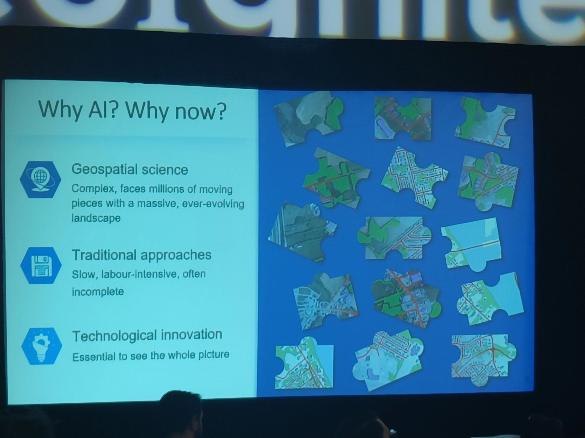
Loubier began by acknowledging the growing complexity of Canada’s environmental, economic, and security landscapes. He emphasized that CCMEO’s role today extends far beyond topographic basemaps—it now encompasses real-time monitoring, climate intelligence, and AI-driven analysis to inform critical decision-making across government.
“The geospatial sector must move beyond delivering data,” he said. “We must deliver insight, prediction, and public value—and do so with transparency and trust.”
AI + EO: A Force Multiplier
 The core of the presentation focused on how NRCan is integrating artificial intelligence across the entire Earth observation (EO) pipeline:
- Data acquisition: Leveraging spaceborne, airborne, and terrestrial sensors.
- Data extraction: Using AI to classify, detect, and model spatial patterns.
- Data analysis: Predictive modelling for climate, infrastructure, and ecosystems.
- Data delivery: Web-based platforms and APIs for end-users and emergency responders.
Loubier presented a series of compelling examples of how AI and EO are already improving public outcomes:
- Flood Risk Mapping: A new AI-enabled flood susceptibility index is helping identify vulnerable areas based on environmental and urban factors.
- Urban Forest Monitoring: Machine learning is being used to assess canopy health and urban heat island effects in Canadian cities.
- Infrastructure Monitoring: Satellite and AI tools now track critical national infrastructure — from dams to roads — for early detection of risk.
- Arctic Knowledge Hub: Web harvesting and knowledge graphs are being developed to centralize fragmented Arctic data across departments.
He also pointed to new innovations in geospatial frameworks, such as the development of a Discrete Global Grid System (DGGS) enabled by AI to support spatial analysis at multiple scales.
A Trusted Ecosystem for the Public Good
What set Loubier’s talk apart was its focus not just on technology, but on governance, trust, and collaboration. He emphasized that for AI and EO to truly serve Canadians, systems must be:
- Ethical: Respecting privacy and Indigenous data sovereignty.
- Open: Built on shared standards and accessible platforms.
- Responsible: Tested, validated, and explained to end-users.
“Canada must lead with integrity,” he said. “Our mapping agency is not only delivering data—it’s delivering confidence in decision-making.”
As the keynote wrapped, Loubier called on all sectors — government, academia, industry, and Indigenous partners — to collaborate in building a resilient, AI-enabled geospatial ecosystem. One that meets the moment. One that anticipates the future.
Because, as he noted, “The challenges aren’t waiting. Neither can we.”


Be the first to comment