November 2019

HRDEM FOR THE ENTIRE CANADIAN ARCTIC!
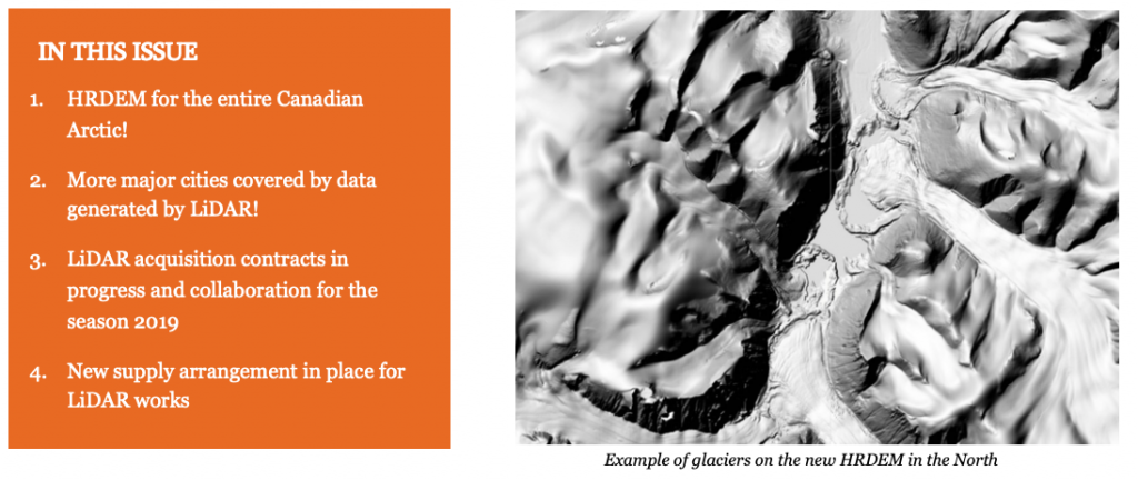
In August, Natural Resources Canada (NRCan) made available a new release of the High Resolution Digital Elevation Model (HRDEM) product for the entire Canadian Arctic! This new 2 m data replaces the previous 5 m resolution version and completes the new offer of high-resolution elevation data for the Northern part of the National Elevation Data Strategy. This milestone is significant for the Government of Canada as the data offers views of the Canadian Arctic in 3D like we’ve never seen it before!
The data comes from the ArcticDEM project, which aimed to provide high-resolution digital surface models for all the Arctic regions of the planet. NRCan applied corrections and improvements to the data according to Canadian standards. This highly detailed 3D information will be very useful for planning operations in the North without costly or risky on-site missions. Moreover, it’s an important asset to remotely monitor changes related to coastal erosion, melting glaciers, deforestation, road construction and more.
You can download HRDEM data on the Open Government Portal.
MORE MAJOR CITIES COVERED BY DATA GENERATED BY LIDAR!
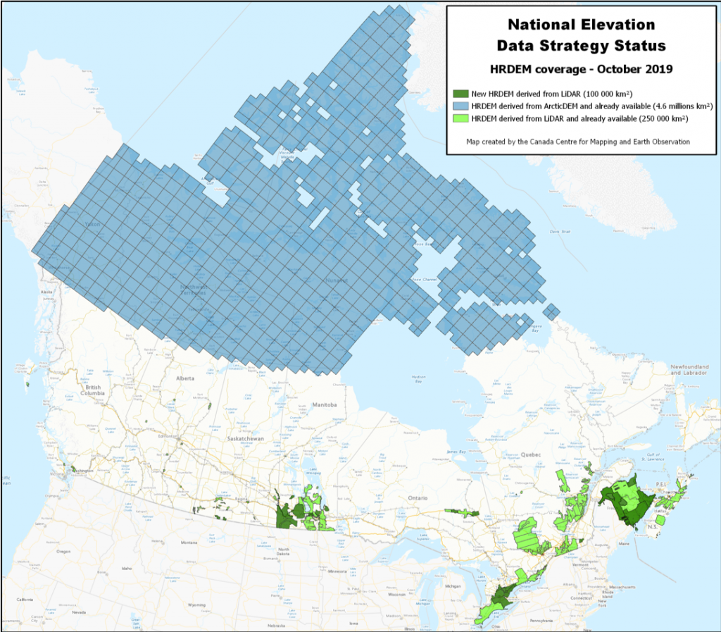
Another publication of the HRDEM product was done in October. This 100 000 km² release includes ~55,000 km² of new HRDEM coverage distributed over five provinces (SK, MB, ON, QC and NB). It also includes coverage of 22 of Canada’s largest cities, including those in the Greater Toronto Area. With this publication, high-resolution elevation data now covers 44 of Canada’s 100 largest cities!
Find a map representing this new publication and the current status of the HRDEM product at the end of the update.
LIDAR ACQUISITION CONTRACTS IN PROGRESS AND COLLABORATION FOR THE SEASON 2019
The 2019 LiDAR acquisition period is coming to an end. Here is a summary of our current projects and collaborations.
NRCan is working with Environment and Climate Change Canada (ECCC) on the acquisition of LiDAR data over the Peace-Athabasca Delta region, in Alberta. Accurate elevation data is essential for the development of models to better simulate and understand the movement and storage of water over the delta wetlands. Ultimately, this data will help scientists better assess aquatic habitat change related to climate change.
Moreover, NRCan is acquiring new LiDAR data in BC to supplement the province’s data in three watersheds over the Fraser River region. Watersheds in the Fraser River uplands are crucial: they contain water resources for the populated region of the lower lands. In order to perform watershed-wide precise analysis, such as hydrological analysis, it is of prime importance to offer a complete up-to-date high-resolution elevation model of the region.
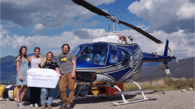
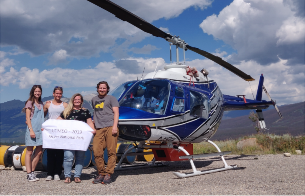
NRCan also works with Parks Canada to acquire LiDAR data for portions of Jasper National Park in Alberta. Elevation data will help the park with a number of projects, including a vegetation resource inventory, visitor safety mapping, wildlife modelling and facility planning.

Finally, NRCan acquires LiDAR in the Ottawa River region this fall. This territory has been greatly affected by floods in the recent years and accurate flood prediction model is a key asset to emergency management. Data will be used to perform analysis in the context of flood mapping.
Collaboration is a key factor in the success of the National Elevation Data Strategy. Discussions are underway with several cities, provinces and territories and other organizations to increase data coverage. Thanks to all of our partners!
NEW SUPPLY ARRANGEMENT IN PLACE FOR LIDAR WORKS
Over the summer, NRCan’s Elevation team created a new Supply Arrangement (SA) for LiDAR contracts. Congratulations to the 13 companies that were prequalified! This new SA replaces the existing one and will allow greater flexibility. The SA includes acquisition of airborne topographic LiDAR data, LiDAR data classification, acquisition of aerial orthophotographs in support of LiDAR data and inspection of existing airborne topographic LiDAR data. It will be valid for the next 5 years and companies that are not already part of the SA will be able to apply on it during a yearly call for proposals. The objective of this new SA is to have prequalified companies to facilitate contracting for the Government of Canada. You can view the details of the Supply Arrangement at: https://buyandsell.gc.ca/procurement-data/tender-notice/PW-19-00872651

We need your feedback!
Do not hesitate to provide us with comments and concrete examples of how you use the data. This helps us to stay relevant and demonstrate the importance of the strategy. You can email us at:
The authors of the articles are:
David Bélanger
Charles Papasodoro


Be the first to comment