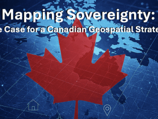
data
Everything You Need to Know About 3D Mobile Mapping
What’s 3D mobile mapping? How does it work? Can it save your business money? You’ve heard good things about 3D…
Reveal Presents Building Unified Utility Models for Major Civil Infrastructure Projects: SUMSF 2023
Reveal’s CEO and founder, Sam Wiffen, held a livestream presentation on Tuesday, May 16, during SUMSF 2023. The topic of…
Pacific Geomatics (PACGEO) Joins the GoGeomatics Expo Trade Show
GoGeomatics Expo welcomes Pacific Geomatics to the Expo. Pacific Geomatics (PACGEO), knows how critical it is to be confident you…
Join Us for a One-Day QGIS Workshop May 1, 2023
Are you a GIS professional, a new GIS user, or even someone with an interest in GIS? Join us for…
Canadian Earth Observation: Call for Sponsors, Speakers, & Workshops EOCANEX 2023!
Join GoGeomatics on June 20, 2023, for EOCANEX! The Canadian Earth Observation Expo, or EOCANEX, is an online GeoIgnite event…
Pesticide use public presentation using ArcGIS StoryMaps and Instant Apps
The beginning of the story In the past summer, Kamloops Food Policy Council (KFPC) launched a research project to study…
Walkability and Deep learning
Walkability is about how friendly the neighbourhood is to walk. Walkability holds many advantages in terms of environment, health, and…
Bim and Digital Twins Digest for September 22, 2022
Montreal Conference 2022 Expects Large International Crowd,Open BIM has Advantages Over Closed BIM,New Testing Options Offered at Windsor’s VR Cave,Digital…
Call for Nominations: Canadian Open Data Awards 2022, Deadline: October 1st
What: The Canadian Open Data Society recognizing and celebrating excellence in open data in Canada through the Canadian Open Data…
Canadian BIM and Digital Twin Digest for July 28th, 2022
BIM Contracting and Infrastructure Digital Twins Businesses can improve on operating infrastructure assets by changing the way they use BIM…
TopoDOT Compares Data and Applications of UAV and LiDAR Point Cloud
On April 5, 2022, LiDAR COMEX 2022 held a live stream presentation on “data comparison and applications of UAV imagery-based…
Canadian Geospatial Briefing July 4th: 1. Carbon soil mapping 2. MDA and NGO for combating illegal fishing 3. Indigenous mapping workshop 4. Deadly Skin Cancer map 5. Mapping Bicyclists’ Greatest Dangers
Carbon soil mapping project aims to help beef producers trap carbon, fight climate change “Our grassland soils hold large amounts…