data
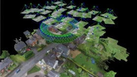
TopoDOT Compares Data and Applications of UAV and LiDAR Point Cloud
On April 5, 2022, LiDAR COMEX 2022 held a live stream presentation on “data comparison and applications of UAV imagery-based…
Canadian Geospatial Briefing July 4th: 1. Carbon soil mapping 2. MDA and NGO for combating illegal fishing 3. Indigenous mapping workshop 4. Deadly Skin Cancer map 5. Mapping Bicyclists’ Greatest Dangers
Carbon soil mapping project aims to help beef producers trap carbon, fight climate change “Our grassland soils hold large amounts…
Lux Modus Shares the Effectiveness of Creating a 3D Infrastructure Digital Twin
An infrastructure digital twin is possible now. SUMSF welcomed President of Lux Modus, Joseph Hlady, to speak on March 22,…
Planet Reveals New Applications Using Satellite Data For Agriculture
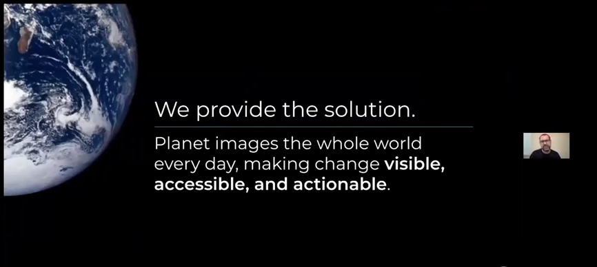
Impressive Planet Constellation Gives Insight Into Agricultural Sector Greg Crutsinger, Ph.D., Customer Success Manager for Agriculture at Planet, spoke at…
Clirio Launches World’s First End-to-End Holographic Scan and Review Apps for Field Inspections and Digital Twinning
The new Clirio app builds on their acclaimed Ada visualization software to add the features clients need to capture, organize,…
Two Great Sessions / Présentation de deux grandes sessions ‘A Roadmap for Data Across Canada’ & ‘Data Liberation Matters’
Register Today! Presenting Two Great Sessions from the Canadian Open Data Summit:‘A Roadmap for Data Across Canada’ and ‘Data Liberation…
Launch of new Canadian Geospatial Training Site: GeoTechTraining
I’m pleased to announce the launch of our new Geospatial training platform GeoTechTraining.com. GoGeomatics is a constantly evolving enterprise that…
Measuring Access to Services: International and Canadian Experiences in Rural Analysis
The growth of open geospatial data and tools provides new opportunities to map accessibility to services for rural and remote…
In Canada EQ Partners with SafeGraph: Building Footprints and POI data
EQ Inc. , a leader in geospatial data and artificial intelligence driven software, is pleased to announce that it has…
Planet: “Advances in Earth Observation & Analytics Technologies + Deployment in Forest & Climate Solutions” – YouTube Video GeoIgnite 2021
Every day, Planet images the full Earth at 3.5m resolution and anywhere sub-daily at <50cm. This data is critical in…
Optimizing and Accelerating the Globe in 3D, Maxar’s Ryan Hamilton: GeoIgnite 2021 On YouTube
3D mapping is continuing to advance and be crucial to our understanding of the planet we live on and how…
GeoIgnite Talk On YouTube: The National Canadian Elevation Data Strategy Update from NRCan
Natural Resources Canada is hard at work on the National Elevation Data Strategy, which aims to provide Canadians with an…


