- Great Bear Rainforest trophy hunting tenures mapped
- Mapping Lake Huron Shoreline 100 years in the future
- The Canadian Agri-Food Asset Map
- Canada’s wildfires
- 911 and GIS, City of Edmonton’s journey to become NG911 compliant
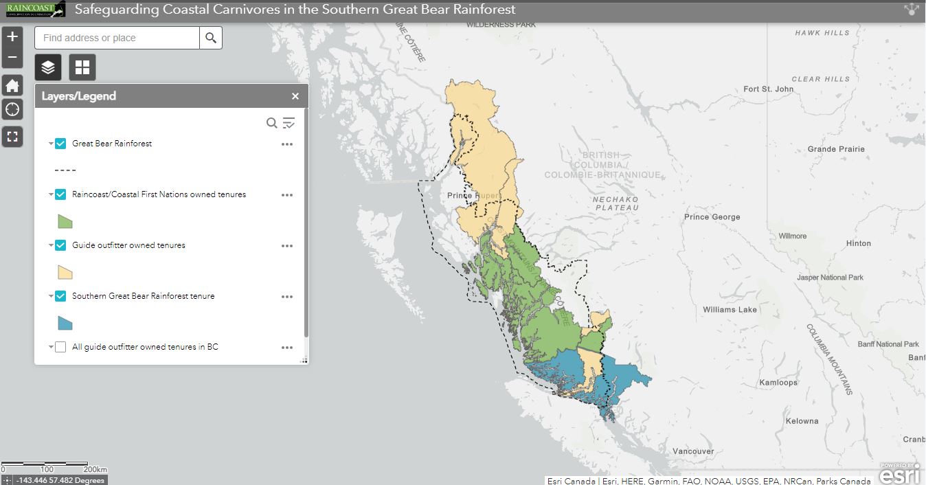
Great Bear Rainforest trophy hunting tenures mapped
With a goal of protecting the ecosystem of the Great Bear Rainforest, Raincoats Conservation Foundation has purchased approximately 39,000km2 of tenures and are raising funds to purchase 18,239km2 more. These hunting tenures grant the right of the providing a guide to non-BC residents who wishes to go trophy hunting. By purchasing these tenures, Raincoast will be able to protect black bears, wolves, cougars, wolverines, mountain goats, bighorn sheep and moose from commercial trophy hunting. Read More.
Mapping Lake Huron Shoreline 100 years in the future
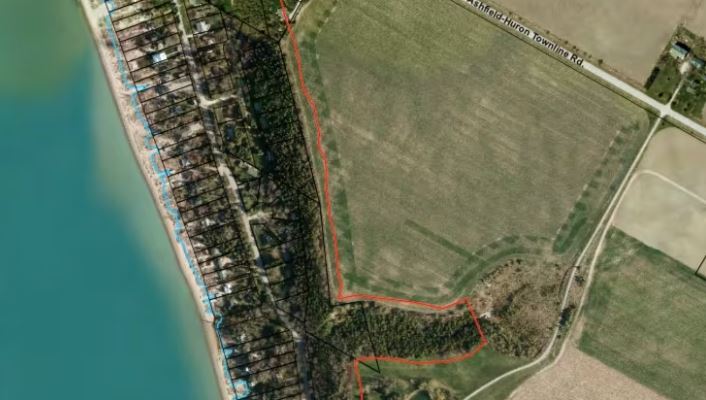
Accelerating erosion from a lack of ice and waves has the Maitland Valley Conservation Authority creating maps that model such impacts on the shoreline of Lake Huron in Southwestern Ontario. With entire cottage subdivisions, waterfronts and a marina predicted to be lost, conversions about the level of protection efforts are taking place. Read More about how these maps were created and what the stakeholders from all walks of life are saying.
The Canadian Agri-Food Asset Map
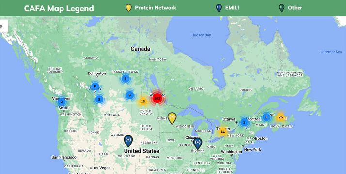
With a focus on collaboration and research opportunities, the Canadian Agri-Food Asset Map (CAF) has been created by the Manitoba Protein Research Strategy. By registering on this online tool, researchers can add information about their expertise and infrastructure making it available for other researchers, investors or industry partners. Read More and check out the map.
Canada’s wildfires
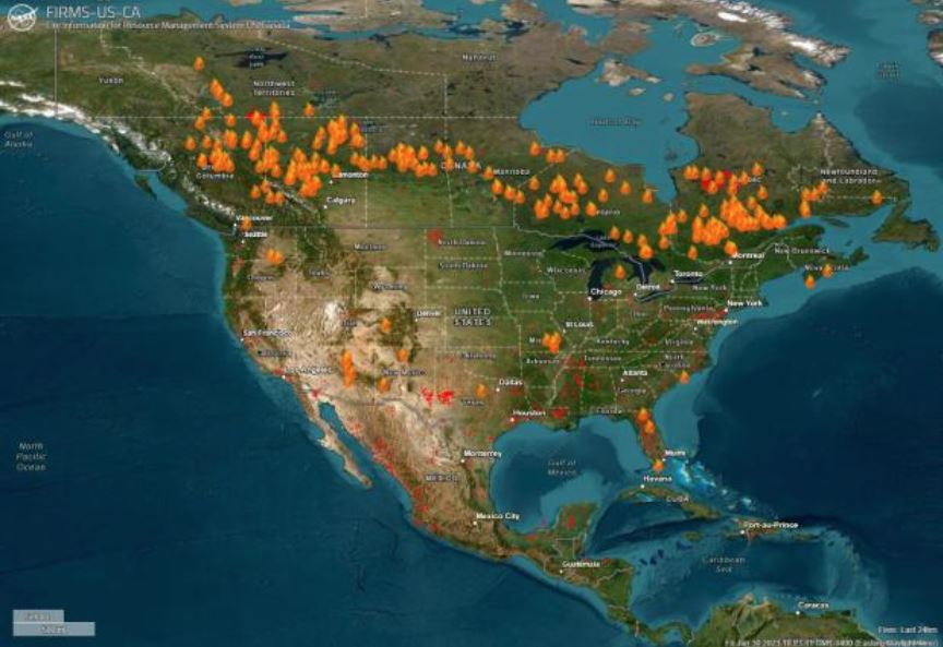
As our wildfires have been in international news lately, NASA has produced a satellite image showing smoke reaching Europe and maps showing the burns from coast to coast. In addition, Natural Resources Canada have produced fire danger and fire weather predictions maps. To date this has been Canada’s most destructive wildfire season on record. Read More.
911 and GIS, City of Edmonton’s journey to become NG9-1-1 compliant
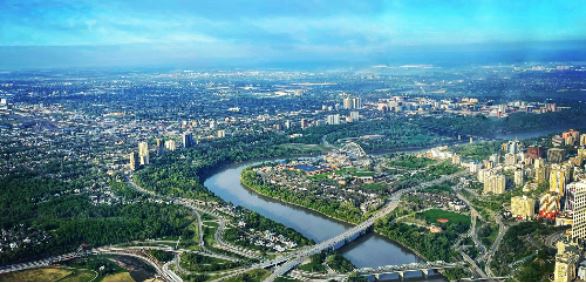
Among the many disciplines that ensures the City of Edmonton is Next Generation 9-1-1 compliant is GIS integration. This interview with Brandon Mol, Manager of the City of Edmonton’s Geospatial Information Program talks about the many challenges his team faces. A key tool highlighted is ArcGIS and the support ERSI Canada provides. Read More about how ArcGIS supports this journey.


Be the first to comment