
- UBC Okanagan Student Develops Canadian Wildfire Application
- Flood Mapping will Increase the Number of Quebec Homes in Flood Zones
- A New Digital Mapping Tool for Ottawa’s Traffic Infrastructure
- New RFP from the Canada Govt Looks for Next-Gen SAR Satellite System
- Project Monitoring Satellites Orbiting over Canada
- The G7 Charter on Wildfire Response
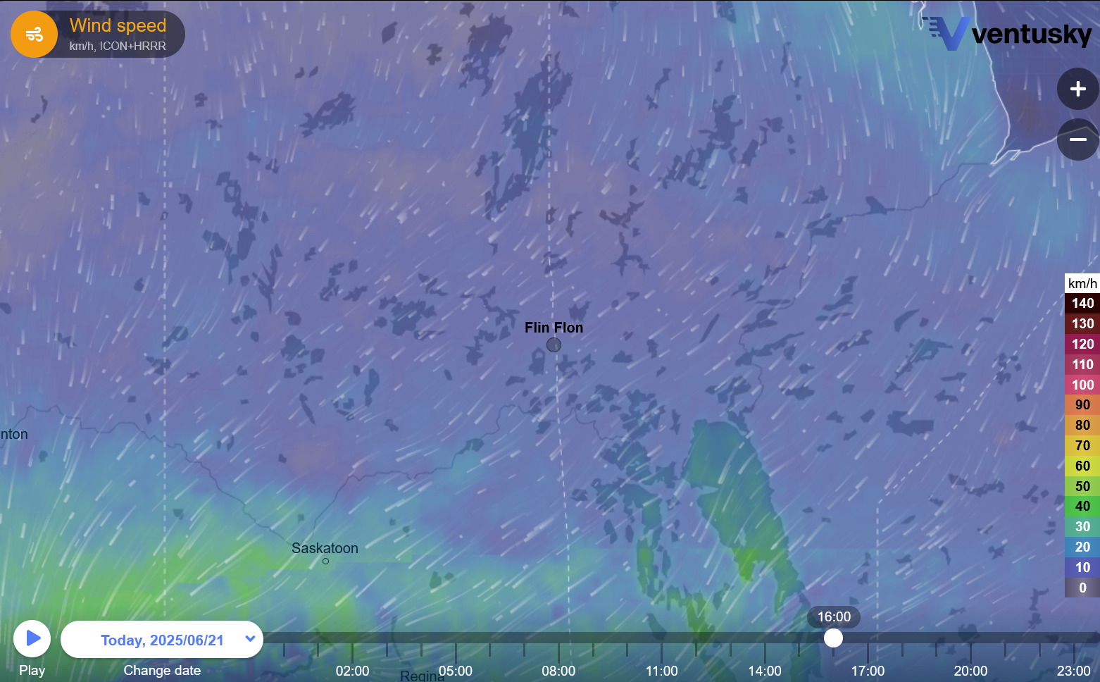
UBC Okanagan Student Develops Canadian Wildfire Application
Jenna Taylor, a third-year student from the University of British Columbia Okanagan Campus, has recently designed an application sharing vital information for wildfire affected communities, which includes her home of Flin Flon, Manitoba. Built using Experience Builder, Jenna’s application allows users to find information about wildfire growth, weather maps, data visualization and real-time updates.
Learn more here:
Flood Mapping will Increase the Number of Quebec Homes in Flood Zones
Next year, the Province of Quebec will release a set of new flood maps. While it was initially estimated that 77 000 homes would fall within these new boundaries, the estimate has been revised to 35 000 homes. Beginning in 2026, the Province of Quebec will separate flood-risked homes into five categories – four categories will include low, moderate, high and very high risk properties, while the fifth category will contain homes within flood zones that are protected by infrastructure such as dikes.
There are concerns from residents that these new flood maps will make it more difficult for homeowners to purchase insurance, while decreasing the value of their property. While the Province of Quebec has noted that no one will be required to leave their home, they will be imposing certain building restrictions on flood prone areas, including a complete prohibition against building homes in very high risk areas.
Learn more here:
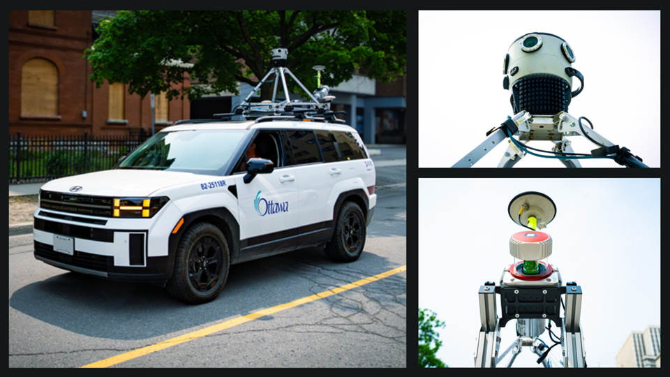
A New Digital Mapping Tool for Ottawa’s Traffic Infrastructure
As a part of its Mobile Mapping of Traffic Infrastructure Project, the City of Ottawa will be mapping traffic infrastructure throughout the summer. Using a vehicle mounted with a 360-degree camera and LiDAR sensor, this project will create an accurate inventory of traffic infrastructure around the City of Ottawa. This data will be used to increase the efficiency of the municipalities operations and will be input into the City of Ottawa’s digital twin.
Learn more here:
New RFP from the Canada Govt Looks for Next-Gen SAR Satellite System
The Government of Canada has recently published a Request for Proposal looking for help to design the next generation SAR satellite system. The successful candidate will help conceptualize a development plan and create mission concepts and requirements. The contract is for an 8 month term, with the Request for Proposal being due July 25th.
Learn more here:
Project Monitoring Satellites Orbiting over Canada
Researchers from Western University and Defence Research and Development Canada have been collaborating to track satellite movement over Canada’s skies. Using a collection of cameras spread around four locations in Canada, this network detects satellites flying over Canada. These cameras provide information about the number of satellites, along with the status of their orbit.
This research is important for the security of space systems and can be used to avoid collisions in orbit. This is especially important as Earth’s orbit is seeing a rapid increase in satellites, driven largely by large constellation systems such as Starlink. The researchers plan to expand the network over the next two years and eventually make real-time information available to the public.
Learn more here:
The G7 Charter on Wildfire Response
This month, Canada hosted the G7, which was filled with discussions about a variety of topics. One major topic of discussion at the G7 was a wildfire charter, which outlines strategies for the 7 members states and 5 other non-member states to work together on wildfire prevention, collaboration and rebuilding. The charter outlines a variety of responses, including sustainable and indigenous-led land management strategies and agreements for sharing of firefighting equipment and data for fire response.

Learn more here:


Be the first to comment