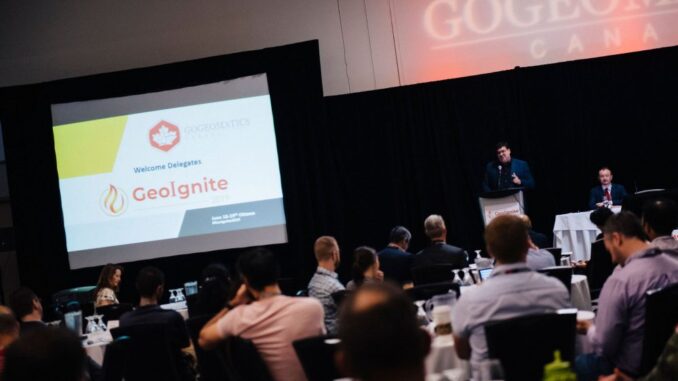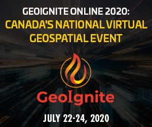
Join us virtually this year for Canada’s National Geospatial Leadership: GeoIgnite conference on July 22nd to 24th, 2020!
This event will showcase Canadian geospatial community and leaders of Canada’s location technology sector. Join us for talks, live Q&A and panels.
GeoIgnite is a unique opportunity for geospatial community in Canada and abroad to learn, share and engage with one another at our virtual conference.
This year’s theme Leadership in Times of Disruption is bringing together government and industry for innovative programming and updates on our sector.
We will be featuring a keynote from the Centre of Mapping and Earth Observation Director General, Eric Loubier. The conference will feature talks from Natural Resources Canada, Agriculture Canada, Statistics Canada and the Department of Fisheries and Oceans.
Our 2020 gold sponsor is MAXAR, and we are also honoured to be welcoming our sponsoring presenting partners Quantum Geospatial and Deploy Technology Solutions.
Visit our updated website to register. Choose your unique sessions, user presentations, and networking opportunities to get the most out of your experience.
COVID-19 will not stop the Canadian Geospatial sector moving forward together! Show your support by participating online.
We thank all our volunteers, presenters, exhibitors, and sponsors whose support has made this event possible.
Media & Associations Sponsors
GOLD Sponsor! Maxar


Be the first to comment