
Artificial Intelligence is complex, but understanding it is relatively simple. -Peter Srager
Feed it data, give it a goal, and let it fail and fail until it figures out how to complete the task at hand. Or burns out your GPU’s. Then try it on the entire dataset and try again – With better Data!! This applies equally when we add in the concept of positioning into machine learning, the better and more relevant the data, the better your results.
The Role of Machine Learning in Geomatics
Machine learning is the concept of “Trying to Expand on what we already know using data we already have”. We just need some way to point out what we are missing. We have seen a step change in AI in a very short period of time, and has allowed a deeper understanding of the the data we have, now is the time to turn that data in to information that allows intelligent decisions to be made. It also poses the question, of trust and confidence in the data, AI tells you what it can infer, this is not the same as what is correct, that is a decision that must also be investigated.

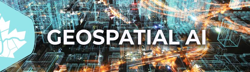
Canada’s National Geomatics Expo 2024: A Focus on GeoAI
Our program aims to explore various dimensions of machine learning and artificial intelligence focusing on geospatial applications as well as technology. Geospatial AI is transforming the speed at which we extract meaning from complex datasets, thereby aiding us in addressing the earth’s most pressing challenges. It reveals and helps us perceive intricate patterns and relationships in a variety of data. We will dive into the potential of geomatics in addressing this exciting new world.
Such advancements can enable more detail and precision in project plans and investments. As we continue to adopt this type of technology, it will increasingly influence how they think about geospatial work. It will help identify where to spend the time and attention of workers, and better focus on those portions of the infrastructure that represent the biggest hazards.

This makes it easier to pinpoint critical areas and the most vulnerable points for maintenance. The data can also help predict which pieces will need to be repaired and replaced sooner.
Exploring Innovative Methods in GeoAI
The goal of the GeoAI program in the expo is to explore the new and innovative methods that are now bringing geospatial and machine learning together. From the integration of data from digital collections systems and high precision GNSS and complex GIS data to musty old paper maps the use of AI to process and make sense of the massive datasets we are getting it is important to understand what has been historically collected, what and how we are collecting now and what we will be doing in the next few years, We are pulling together some of the most innovative ideas and processes to leverage geospatial and machine learning technologies. Join us at GoGeomatics 2024 to see where we go.

Thank you to our sponsors!
Platinum


Silver
![]()
![]()


Be the first to comment