This article focuses on the process of creating a very out-of-date map in GIS.
Lots has gone on since I posted Gettysburg: What Could Lee See? last summer. Technology continues to evolve at a dizzying pace, and advancements in historical GIS tools have been incredible. One such advancement, OpenHistoricalMap, has been a tremendous enabler for the WikiWar project I founded six years ago.
OpenHistoricalMap (abbreviated as OHM) is based on the popular OpenStreetMap technology stack, so if you’ve ever contributed to OSM, you’ll be right at home with the process as the tools are identical.
I had previously gained some OHM experience by adding details from a 1909 map of the Village of Eastview (later to become the City of Vanier, now part of the City of Ottawa), so I had a good grasp of the basics:
[iframe src=”http://www.openhistoricalmap.org/export/embed.html?bbox=-75.67846298217773%2C45.43106057944039%2C-75.65440893173218%2C45.44608674731714&layer=historical” width=”100%” height=”500″]
Now I wanted to add something more in line with WikiWar. What better place to start than Gettysburg? How hard could it be? Well…
Working on historical maps means making some choices right up front. What base map was I going to trace from? Is that map in the public domain?
I decided to use this 1863 Ditterline map (the same year as the famed battle):
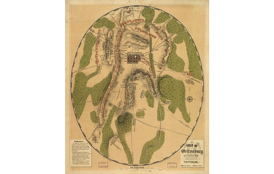
The map is in the public domain, so there’s no problem adding it to the NYPL’s Map Warper for georeferencing.
What was a problem was trying to pick control points that didn’t warp the map beyond recognition. Adding more points just made things worse. After fighting with it for several hours, this was the best I could do:
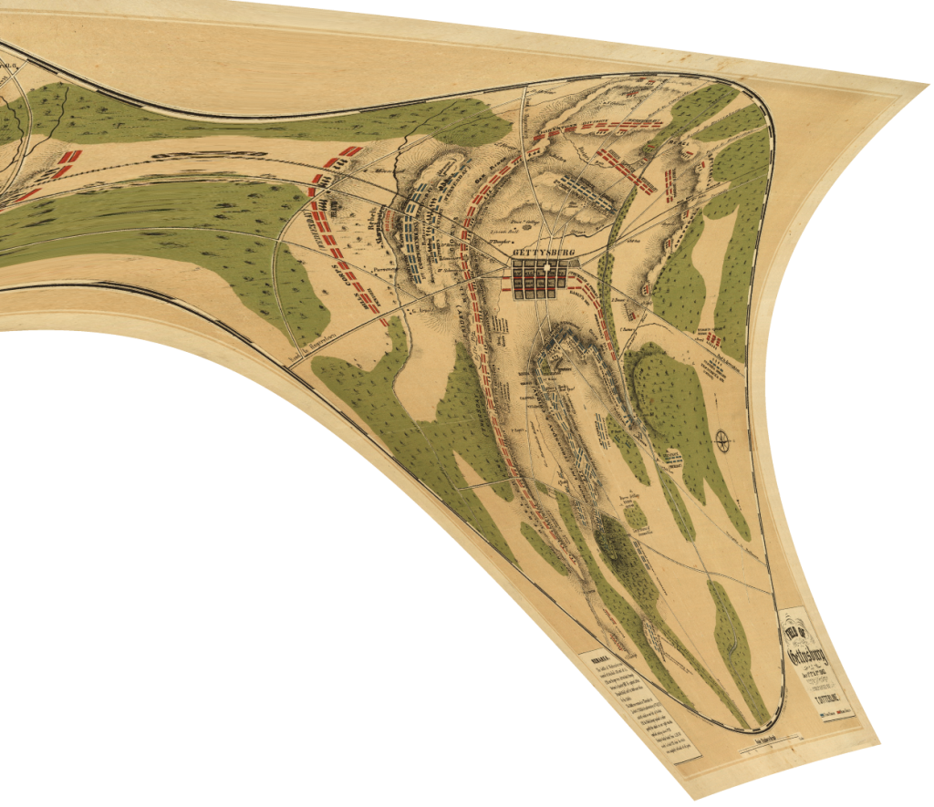
The problem is the road network in the centre of town. In the Ditterline map, most blocks are perfectly square. On the ground, however, the blocks are squat rectangles.
Discouraged, I spent several days trying to figure out some way to make this map work. Eventually I gave up. There are of course other maps I could use, but they were all published much later, and I wanted to use a map created as close to 1863 as possible.
But hey! If I have to choose a newer map, why not go way newer, like one already created by a modern GIS system but crafted intentionally to only depict features that existed in 1863?
This new perspective led me to some great maps prepared by Steven Stanley on the Civil War Trust website. However, these are very much copyrighted works, so I can’t upload them to the Map Warper without permission. Even if I did the georectification myself with QGIS, there would still be the issue of tracing rights. If I create a new work based on someone else’s work, I’m essentially creating a derivative work, something I can’t do without permission of the copyright holder. The Civil War Trust is pretty clear that they don’t want anyone republishing their maps, but they are silent on the matter of derivative works.
What to do? I talked with a member of OpenHistoricalMap who also happens to be a member of the Civil War Trust, and it turns out that he had already reached out to Steven Stanley about OHM tracing permission with no luck. Bummer!
Time to broaden my horizons. Who else has published old war maps with modern GIS tools?
As it turns out, the US Military Academy at West Point has an extensive collection of Campaign Atlases. Again, no reprints without permission. Again, no word on derivative works or tracing rights.
They do provide a phone number to their present cartographer however. What if I called? Well, what did I have to lose?
Happily the fates smiled on me, and I had a delightful conversation with Mr. Raymond Hrinko. He was most accommodating and said we (the OHM community) were free to trace any map in their Campaign Atlas collection as long as we provide attribution. Fantastic!
I dove back into this endeavour with renewed enthusiasm and picked a dual map titled “Gettysburg and Vicinity, 1000 – 1430, 1 July 1863.”
After splitting off the first map with GIMP, I uploaded it to the Map Warper with much better results:
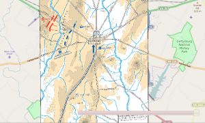
Since OHM is still pretty new, most of the tiles are blank. In my case, I started with a completely blank slate:
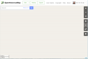
From here it was pretty easy to load the warped map into JOSM as a layer and add the roads and waterways. Adding the vegetation was a bit trickier since the boundaries weren’t well defined. No matter, I took my best guess and completed what I could. What do you think?
[iframe src=”http://www.openhistoricalmap.org/export/embed.html?bbox=-77.24787132202148%2C39.820040582209565%2C-77.22270727157591%2C39.836486422931394&layer=historical” width=”100%” height=”500″]


Be the first to comment