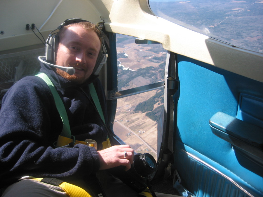
Today’s interview is with Pat Worsell, GIS Team Leader at Stantec in Guelph, Ontario. Pat has worked in both the public and private GIS sectors and we were fortunate to have him share his experiences with us.
Hi Pat. Why did you get into Geomatics?
I have always been interested in the fields of geography and computer technology. I started my Geomatics training in high school where I was introduced to the field of Geomatics. I was very interested in what Geomatics involved, so I continued to pursue this field in my post-secondary education and I took advantage of the co-operative education opportunities to explore my interests.
I read your profile on “LinkedIn.” I see you’ve had a lot of Geomatics experience working for municipalities. What did you enjoy most about working in this type of environment?
My work experience in Geomatics first began working for municipalities. The job opportunities came from the co-operative education program offered through the University of Waterloo. These opportunities allowed me to explore my interests in using Geomatics in the workplace. I really enjoyed working with engineers creating solutions using GIS and using the skill sets that I developed in my university studies. I also developed an interest in municipal transportation services, particularly with transportation infrastructure at the City of Toronto and transportation strategic planning at the City of Ottawa.
You mentioned that you “integrated existing city applications with GIS data to enhance applications with spatial capabilities.” Could you give us some examples of the types of applications you enhanced?
At the City of Toronto, most of my duties involved integrating the transportation infrastructure GIS datasets with the City’s Municipal Pavement Management Application (MPMA). The MPMA is a database application which stores every piece of information regarding the pavement conditions and construction contracts that are involved with every section of road in the city. I had to link the GIS with the MPMA using a unique identifier so that the MPMA could illustrate the section of road the MPMA user is viewing – and vice versa if a GIS user wants to link the MPMA dataset with the GIS dataset to create and distribute maps for engineers for meetings and work reports.
Could you tell us what a typical day for you is like at Stantec?
I am currently the GIS Team Leader for all of the projects that require GIS services in the office. The office that I work at is involved in Environmental Management, and there are approximately 50 on-going projects that the office is working on, and about half involve GIS services. It is my responsibility to make sure that all of the GIS requirements and deliverables are met on time and on budget with my two co-workers. The work environment and turnaround times are usually at a very fast pace and it is my duty to make sure that our GIS services are delivered with the best quality possible with the time we are given.
You are currently involved in leading the GIS services for many on-going renewable energy projects. Could you tell us more about one that you find particularly interesting?
My answer has to be limited and cannot involve anything specific regarding projects that I have been working, or have worked on. The project that I have found most interesting is the Port Dover and Nanticoke Wind Farm project. This was one of my first renewable energy projects that I have worked on that involved several hours of GIS analysis. It also allowed me to get involved with client needs and what their expectations were for the GIS deliverables. This developed a solid foundation to learn what the GIS requirements entail for the environmental assessment for future renewable energy projects for our office.
Which software packages have you used most often?
I have used the entire ArcGIS suite throughout my Geomatics career – I am currently using ArcGIS 10. I have also used Intergraph Geomedia Professional and AutoCAD for some of my work.
Do you have any advice for recent graduates looking for their first GIS job?
It is very important to keep in touch with the latest Geomatics technology and to keep your skill-set sharp for the job market – the more you can bring to a job, the better. Do not limit to yourself to a particular job interest – your interests are very important, but recent graduates must start with a foundation and then you will have the opportunity to explore in taking your career in several directions as you gain more experience in the workplace.
What type of non GIS related skills are most valuable for an employee in your industry?
It is extremely important to keep a positive attitude and be able to communicate and network with people in the workplace and with clients, if your job entails you. It is very important to keep a positive relationship with your co-workers and your clients, because it will make your job experience worthwhile.
Thank you very much for taking the time to share your thoughts with GoGeomatics Pat!
To learn more about Stantec, please visit their website: Stantec.com


Be the first to comment