Technology
TopoDOT Presents Leveraging Point Cloud Project Data for Effective Support of 3D Design/Construction Processes at Lidar CANEX 2023
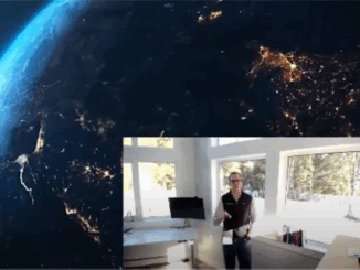
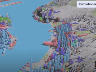
Jennifer Triana, TopoDOT’s Director of Business Development, presented a livestream talk on Leveraging Point Cloud Project Data for Effective Support of 3D Design/Construction Processes at Lidar CANEX 2023, on Tuesday, April 23, 2023. Triana began […]