
In our last article on land use in the Greenbelt, we discussed the Places to Grow Act, an Ontario policy envisaged at curbing the effects of urban sprawl and encouraging population growth where it is needed. We also looked at how GIS technology is tracking leapfrog development in municipalities like Orillia, Simcoe County, and Waterloo Region.
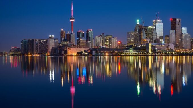
Over the past decade, communities in the Greater Golden Horseshoe have experienced dramatic shifts in their urban landscape, but three urban growth centres in Toronto in particular are undergoing significant change: The Entertainment District, the Garden District, and the Eastern Waterfront. Using software like ArcMap is instrumental in tracking the shifting face of urban growth—using reference information from Emporis, GoogleMaps, Urban Toronto, and SkyscraperPage—to project the changes coming to the city.
Condominiums feature heavily in the development of the Entertainment District, replacing low-rise commercial buildings, construction sites, and parking lots. A supertall condominium tower project dubbed Mirvish+Gehry Toronto will transform the buildings between the Princess of Wales and Royal Alexandra Theatres.

The westernmost section of the Eastern Waterfront will be repurposed into a park by the City of Toronto, adding to the overall number waterfront space. The Toronto Star buildings will become a community of two office towers, three condominium towers, retail space, hotel and community centre, all of which will be bisected by the newly extended Harbour Street.

Construction occurring between Church and Jarvis in the Garden District will produce three residential buildings, a covered arcade lined with retail buildings, a park and hotel. A further condominium development will replace a parking lot north of the Metropolitan United Church, and another lot currently owned by Ryerson University will be the home of the new Faculty of Science facility and a possible student residence.

But these changes are just the start. As well as focusing commercial, residential, recreational, cultural, and entertainment growth in specified areas of each municipality, the Places to Grow Act sets out targets for infrastructure corridors, transportation demand, and the resources needed to move people and goods. The next article in this series will concentrate on the land use changes occurring in growth centres within the City of Toronto.


Be the first to comment