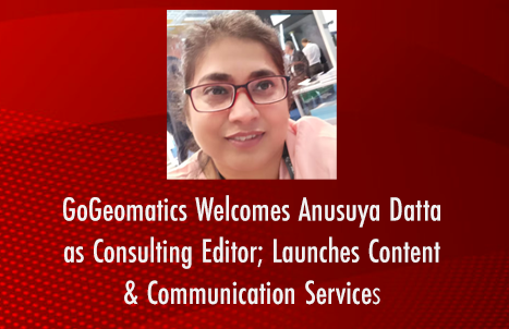
Ottawa: GoGeomatics is excited to welcome Anusuya Datta as our new Consulting Editor.
As a published author on numerous international platforms specializing in geospatial, Earth observation, and climate science, and former Executive Editor of Geospatial World, Anusuya adds a wealth of expertise to our team. She has over a decade of experience in journalism, content writing and strategic communications, and a track record of connecting scientists, policymakers, and stakeholders through compelling narratives.
Anusuya’s contributions extend beyond media, as she serves as a board member of the EO4SDG initiative, delivers guest lectures at universities, and has spoken at global conferences. She has also contributed to position papers, influencing government policies.
In conjunction with this announcement, GoGeomatics is also proud to launch our writing and consulting services, drawing upon our extensive industry experience and expertise. Anusuya will play a key role in this initiative to reinforce our position as a leader in the Canadian geospatial industry.
“I welcome Anusuya to our team. Geospatial data and technologies play an increasingly vital role in our world, from monitoring crop yields on the Canadian prairies to tracking wildfires in our forests and enhancing the planning and sustainability of our cities. This is a pivotal time for the industry, and we foresee exciting developments ahead for GoGeomatics in highlighting the impact of geospatial technology across the country,” said Jonathan Murphy, CEO and President, GoGeomatics.
About GoGeomatics
GoGeomatics is the largest and most popular communications hub promoting the Canadian geospatial community. It hosts over 100 location technology networking events annually across Canada and provides career coaching and education resources. GoGeomatics recently concluded its flagship event, GeoIgnite, Canada’s National Geospatial Leadership Conference, successfully bringing together the geospatial community.


Be the first to comment