How are the GoGeomatics Briefings created?
All across Canada, our volunteer editors and group writers gather virtually, on a weekly basis, to discuss and share the newest geospatial news together. Each Writer prepares a few interesting articles that they have researched about, and they share why the reason behind selecting their piece with the other writers. Each researched article is selected based on the relevancy, credibility and interest to the geospatial community. After the team shares all their researched articles, all members vote on the most relevant pieces to write a briefing about.
Our volunteers’ dedication is very valuable to our community. Their efforts embody the spirit of what it means to really be the change you wish to see in the community.
1.Researchers turn to artificial intelligence to model how snow cover is shrinking
2.Exclusive Satellite Images Show Methane Cloud Near Pakistan Landfill
3.Mobile Lidar Contributes to Digital Transition of Norwegian Forestry Sector
4.High-Tech Map Promotes Access to Medicine and Pharmacy Services
5.How GIS fortifies election information
Researchers Turn to Artificial Intelligence to Model How Snow Cover is Shrinking
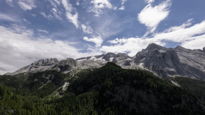
The article focuses on how climate change has been decreasing the number of days with snow cover using modelling and artificial intelligence. Researchers in Bolzano, Italy have been piecing together data from over 40 years by using modern mathematical models to predict historical data.

Additional field based data was collected to help with the blind spots satellite has by distinguishing snow from cloud cover. Read more here
Exclusive Satellite Images Show Methane Cloud Near Pakistan Landfill
Methane leaks are a growing concern as more and more research is being conducted on how it contributes to climate change. Methane has 84 times the warming power of carbon dioxide and happen on a frequent enough basis to provide enough sample satellite imagery from all over the world.

The article features cases from Pakistan, Turkmenistan, Canada, and Poland to name a few. See the rest of the images and how the article goes into detail here
Mobile Lidar Contributes to Digital Transition of Norwegian Forestry Sector
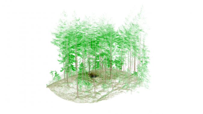
The SFI SmartForest in Norway, Led by The Norwegian Institute of Bioeconomy Research, has developed a combined tactic using laser scanning for both field and UAV based methods.

The article goes into detail as to the specifics as to how much data is collected, but despite the technology being in its starting stages, it is able to collect high accuracy data from canopy to forest floor waste. Read more here
High-Tech Map Promotes Access to Medicine and Pharmacy Services
University of Chicago’s Dima M. Qato has ben conducting research on the relationship between low-income neighbourhoods and access to pharmacy services such as picking up prescriptions. Her research has led to developing maps to demonstrate a term she has coined as ‘pharmacy deserts’. This refers to areas that have shortages of pharmacies within communities and as such forces people to travel long distances for their pharmacy needs.

The article goes into greater detail on the research done and has an interactive map as well. Read more the article here and visit the interactive map here
How GIS fortifies election information
For the last four years, the National States Geographic Information Council (NSGIC) has been integrating GIS tools to assist with local and state elections. The primary role of this tool is to ensure accuracy, voter verification, and credibility with all the data collected.

See link for live updates.
https://www.newyorker.com/news/midterm-election-2022/live-results-map-senate-house-governors-races
Additionally, the United States Midterm Elections are currently underway. This live interactive map best shows how GIS tools can be used to record and display data in real time.
Read the article here and see the live 2022 Midterm Elections map here


Be the first to comment