- ArcGIS GeoBIM proves critical for Peruvian megaprojects
- Taylor Geospatial Institute increases hiring
- Growing the Australian geospatial industry
- Mapping USA’s food sources
- Jharkhand’s tribal development digital atlas
- ESRI’s new integrations
ArcGIS GeoBIM proves critical for Peruvian megaprojects
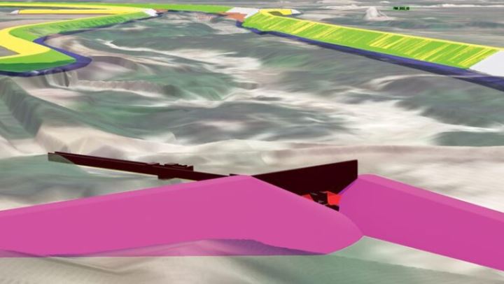
When widespread flooding and landslides occurred in multiple regions in Peru following the El Nino in 2017, The Peruvian Government enacted a reconstruction plan that consisted of river defenses, containment dykes and evacuation channels in 13 regions. With multiple assets, construction companies and different datasets, information needed to be managed efficiently. To meet this, ArcGIS GeoBIM was employed. Read More about how ArcGIS GeoBIM help integrated BIM and GIS while also creating a cloud to cloud connection between ArcGIS and Autodesk Construction.

Taylor Geospatial Institute increases hiring
Recognizing that the geospatial sector has been mushrooming coupled with the Taylor Geospatial Institute’s initiative to become the nation’s leader in geospatial research, fueling innovation and training future talent, the TGI will be hiring 20 new faculty members over the next 3 years. These new faculty members will be hired into core geospatial science and related disciplines such as medicine, aviation sciences and engineering to name a few. Read More

Growing the Australian geospatial industry
As Australia recognizes the growing impact the geospatial industry and its professionals have with regards to providing information on a wide range of industries, the government wants to foster this industry through investments and collaborations between industry and universities. This is done by identifying key technologies, keeping pace with other countries while ensuring a constant source of skilled talent. Read more about the plan.

Mapping food sources
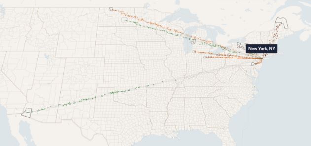
What is a Food Twin? This is an interactive map developed by CU Boulder and The Plotline which shows where different types of foods originate from. In addition, what crops a local region produces and consumes are highlighted as well. Another highlight is showing how vulnerable some food sources are to drought, heat waves or political conflicts. Such a tool will help plans ensure food security. Read More

Jharkhand’s tribal development digital atlas
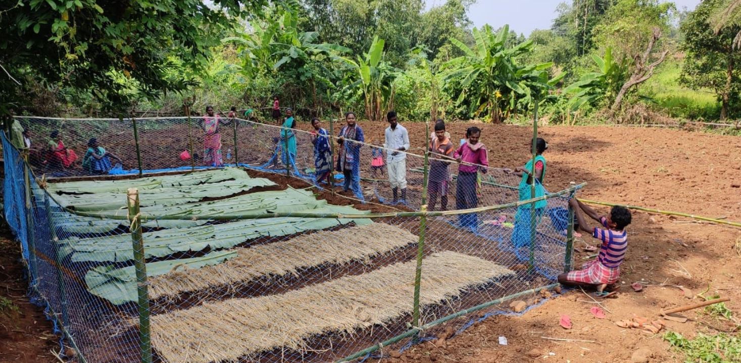
Recording Particularly Vulnerable Tribal Community (PVTGs) through a virtual map, will help the Jharkhand government in India, assess the socio-economic conditions. With a focus on health, livelihood and social infrastructure, this map will enable planners to allocate resources to uplift the tribes in life standards and basic amenities. Read more.

ESRI’s new integrations
With interoperability being a critical to spatial analytics, ESRI has unveiled 2 new integrations. The first is with Microsoft’s Fabric. This will allow data flow across Microsoft OneLake, Microsoft Power BI and ESRI’s ArcGIS. While the second is an Autodesk integration. This focuses more in harnessing the power of BIM to enable the architecture, engineering and construction (AEC) sectors to reduce costs and boost project efficiencies. Read more on the Microsoft Fabric’s and Autodesk integrations


Be the first to comment