1. TuneIn Explorer: How To Discover Local Radio Stations On A World Map
2. Satellite data reveals long-term drought conditions in Europe
3. Geospatial Imagery Analytics Market size 2023-2033
4. Maxar Secures Dedicated Access to Umbra’s SAR Constellation, Creating the Geospatial Industry’s Most Advanced Multisource Intelligence Solution
5. Bluesky Geospatial Launches MetroVista 3D Aerial Mapping Program in U.S.
6. Esri launches new ArcGIS Reality digital twin software
TuneIn Explorer: How To Discover Local Radio Stations On A World Map
Interested in listening to different radio stations around the world? TuneIn has just released an interactive map, TuneIn Explorer, that allows you to view and listen to radio stations around the world. Further, users can filter based on what category of music they are interested in listening to.

View the full article here.
Satellite data reveals long-term drought conditions in Europe
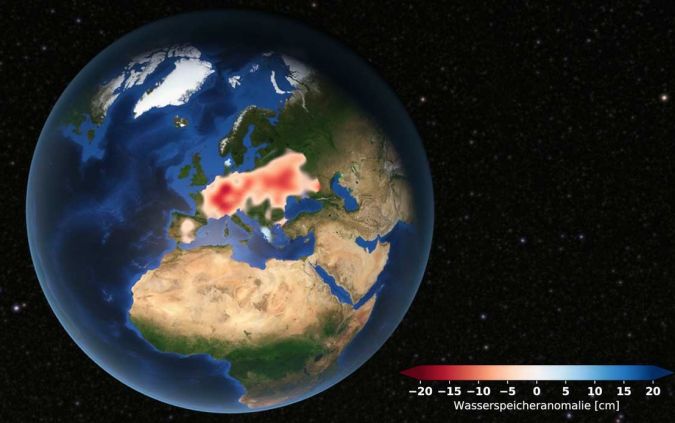
It was determined through satellite data that since 2018 Europe has been experiencing a drought. Extreme weather events do not tell the whole picture, so scientists used satellite gravimetric measurements to observe the amount of groundwater across Europe. The satellites being use are named “Tom” and “Jerry” and ad par of the G3P project. The satellites alone do not tell how much groundwater is lost, it requires supplementary data from Europeans universities. The results of this project have indicated just how dangerous the water situation in Europe can become.

View the full article here.
Geospatial Imagery Analytics Market size 2023-2033
With the current advancements in geospatial technologies many companies are beginning to adopt them. Because of this, the geospatial sector is expected to boom in the next decade. “The geospatial imagery analytics market size is projected to be valued at US$ 7.2 billion in 2023 and is expected to reach US$ 44.58 billion by 2033. The sales of geospatial imagery analytics are expected to record a significant CAGR of 20.00% during the forecast period.” Technologies like digital twins for asset management, aerial imagery for resource management, GNSS for automonous navigation, and many more will contribute to this anticipated growth.
View the full article here.
Maxar Secures Dedicated Access to Umbra’s SAR Constellation, Creating the Geospatial Industry’s Most Advanced Multisource Intelligence Solution
Maxar, a provide of geospatial solutions, has signed an agreement with Umbra to offer there SAR solution. Maxar will begin to offer this service in Q2 of 2023, with full integration achieved by 2024. The SAR service will be offered through Maxar’s Rapid Access Program (RAP) Platform. “Maxar and Umbra have complementary capabilities that enable the delivery of the most advanced commercially available SAR data. Umbra’s SAR satellites can see through clouds, smoke and total darkness with industry-leading resolution, licensed down to 13 cm. Maxar will leverage decades of SAR processing expertise, as well as its own high-resolution optical imagery and 3D datasets, to further enhance the original SAR data and deliver more actionable insights.”

View the full article here.
Bluesky Geospatial Launches MetroVista 3D Aerial Mapping Program in U.S.
Bluesky Geospatial Ltd. has just launched its MetroVista 3D aerial mapping program in the US. The program used LiDAR-Imaging airborne sensor to capture 3D data. The data consists of fully detailed 3D buildings as well as street level features. This data can then be used in creating digital twins. This program was developed by BlueSky International of Leicestershire, England (sister company of BlueSky Geospatial) in 2018. The have mapped over 20 cities throughout England and Scotland. Boston was chosen as the first US city to be mapped, with more to come. This project was present in Denver at Geo Week 2023.

View the full article here.
Esri launches new ArcGIS Reality digital twin software
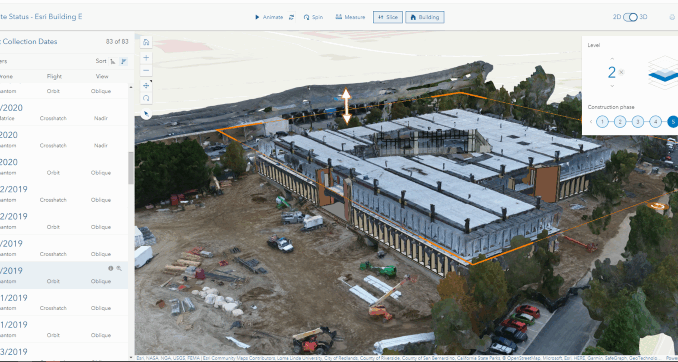
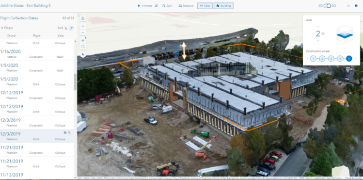
Esri has realized a new software specifically designed for the digital twin industry, ArcGIS Reality. ArcGIS Reality will be made up of several existing Esri products and will run on the ArcGIS Reality engine. The four products that make up ArcGIS reality are: ArcGIS Reality for ArcGIS Pro, ArcGIS Reality Studio, Site Scan for ArcGIS, and ArcGIS Drone2Map. This product will be able to service a wide variety of user groups from construction to asset management.

View full article here.


Be the first to comment