- Climate change could affect major port cities on America’s East Coast
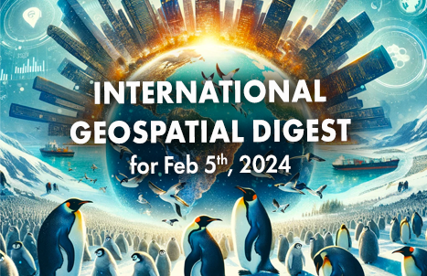
- Thousands of Emperor Penguins discovered by satellite
- Unlocking new possibilities through geospatial data
- URISA’s GISCorps 2023: The Year in Review
- ESCAP Tool Supports Geospatial Solutions for Sustainable Development
Maps, data show how near-term climate change could affect major port cities on America’s East Coast
A recent study conducted by the United States Geological Survey (USGS) has predicted potential shoreline changes in the northeastern U.S. over the next decade using satellite data.

The USGS has now updated its climate change predictions for coastal areas, taking into account the physical characteristics of the coast, such as the presence of sand, rocks, or foliage. This additional information enables researchers to better forecast which areas are most vulnerable to flooding and erosion.
According to a recent analysis by CBS News, over 67,000 people residing along the Eastern Seaboard in the United States are living in areas that are vulnerable to rising sea levels, hurricanes, and other related hazards. Additionally, the analysis shows the risks faced by seaports that support thousands of jobs, which are also threatened by changes in coastal conditions.
Article can be viewed here
Thousands of Emperor Penguins Discovered by Satellite
Scientists have discovered four unknown colonies of emperor penguins on the outskirts of Antarctica through a detailed analysis of satellite images. This discovery offers hope amidst increasing climate change dangers in the region. Emperor penguin colonies are easily identifiable from above due to their large size, which can reach up to four feet tall. These recent discoveries have brought the total number of known colonies to 66.

Article can be viewed here
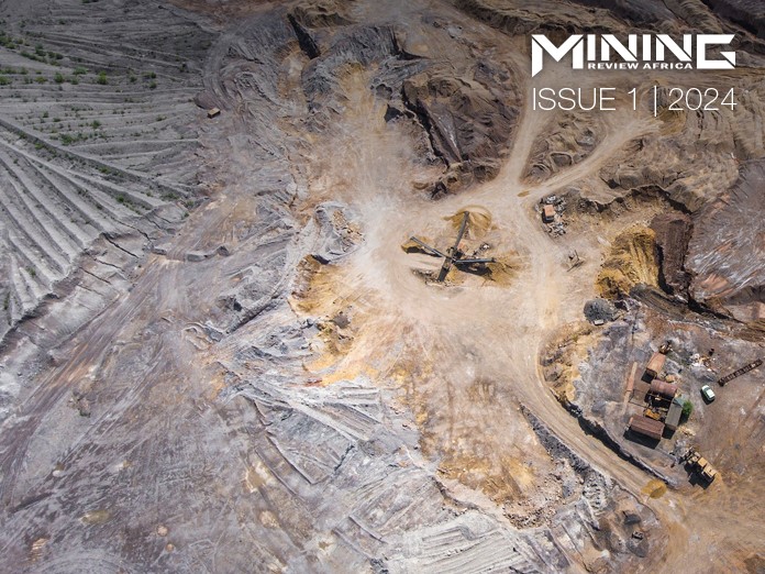
Unlocking new possibilities through geospatial data
The mining industry is currently undergoing a shift towards greater automation and digitalization. Mining companies are relying on GIS to gain insights and make informed decisions about mining in their environment. This article discusses the use of GIS in mineral exploration for hydrologic modelling, mining safety, report generation, and compliance with sustainability regulations.

Article can be viewed here
URISA’s GISCorps 2023: The Year in Review
URISA has published its 2023 annual report, which marks the organization’s 20th anniversary.

This story map showcases the progress made over the last year, including 15 new missions, 25 completed missions, and 3 ongoing missions, resulting in over 2,000 volunteer hours. Some of the completed missions include fighting poverty and supporting community development in the San Francisco Bay Area, teaching the power of GIS to high school students, assisting in deep-sea exploration, comparing the impacts of pandemics on the City of Novato through the use of StoryMaps, and many more.
The annual report can be viewed here
ESCAP Tool Supports Geospatial Solutions for Sustainable Development
A new platform has been launched by the UN Economic and Social Commission for Asia and the Pacific (ESCAP) aimed at promoting the use of geospatial solutions for sustainable development. The platform highlights good practice examples that encourage sharing knowledge and innovation. The dashboard can be used to easily share updates on the progress made in implementing the Plan of Action across six key areas, including disaster risk reduction and resilience, natural resource management, connectivity for the 2030 Agenda, social development, energy, and climate change.

Article can be viewed here


Be the first to comment