Top Geospatial Stories From Around the World
- Satellite Images Reveal Devastation Across Los Angeles
- Minecraft Tool Uses Geospatial Data to Create Scale Replicas of Real-World Locations
- Satellite Images Reveal Glaciers Shifting National Boundaries
- Hexagon Acquires Septentrio to Transform Positioning Industry
- HERE Signs $1B Deal with AWS for Mapping and Location Services
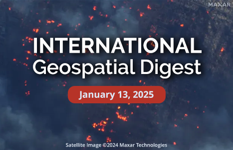
Satellite Images Show Wildfires Threatening Los Angeles Area
Satellite imagery has revealed the extent of the wildfires threatening the Los Angeles area. The fires, which have prompted evacuations and significant disruption, are visible from space, with satellite images providing real-time insights into the size and movement of the flames. These images are crucial for emergency responders, helping them track the fires’ progress and plan for evacuations. They also highlight the growing role of satellite technology in disaster management, offering an invaluable tool for monitoring large-scale environmental events like wildfires.
Minecraft Tool Uses Geospatial Data to Create Scale Replicas of Real-World Locations
Minecraft enthusiasts can now create realistic, scale replicas of real-world locations thanks to a new tool called Arnis. By using geospatial data from OpenStreetMap, Arnis enables players to generate detailed, 3D Minecraft maps of actual cities, towns, and landscapes. This new tool presents an innovative way to explore geographic features in an interactive environment, providing an educational experience for players and geospatial professionals alike. Arnis adds an exciting layer of realism to Minecraft, merging the digital gaming world with geographic exploration.
Satellite Images Reveal Glaciers Shifting National Boundaries in EU
Satellite imagery is providing new insights into the movement of glaciers that could have significant implications for national borders in Europe. A recent study leveraging satellite data has shown how glaciers are shifting and potentially altering the geographical boundaries between countries in Europe and around the globe. This study brings attention to the need for updated environmental monitoring techniques to track these changes. As glaciers continue to melt due to climate change, there may be further territorial adjustments, and the new findings underscore the importance of utilizing advanced satellite technology in global border and climate research.
Hexagon Acquires Septentrio to Transform Positioning Industry
Hexagon, a global leader in geospatial technology, has expanded its portfolio by acquiring Septentrio, a company specializing in high-precision GNSS positioning. This strategic acquisition is set to revolutionize the positioning industry by integrating Septentrio’s robust GNSS technology with Hexagon’s advanced geospatial solutions. The merger aims to provide a more resilient and precise positioning system, benefiting industries like autonomous vehicles, agriculture, and surveying. This acquisition strengthens Hexagon’s position as a major player in the positioning sector, supporting its push to innovate geospatial data collection and analysis.
HERE Signs $1B Deal with AWS for Mapping and Location Services
HERE Technologies has secured a significant 10-year partnership with Amazon Web Services (AWS), valued at $1 billion. This collaboration aims to combine AWS’s powerful cloud infrastructure with HERE’s state-of-the-art location and mapping services. The deal will help businesses across various sectors—such as logistics, automotive, and agriculture—utilize geospatial analytics to optimize operations, improve routing, and support smarter decision-making. The integration of HERE’s high-quality mapping data with AWS’s cloud capabilities is poised to unlock new levels of accuracy and scalability for geospatial applications worldwide.


Be the first to comment