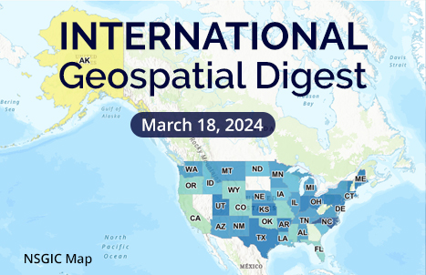
- States’ biennial Geospatial Maturity Assessment reveals progress, challenges
- Mauritius Leverages GIS to Enhance Water Distribution
- Trimble launches MX90 mobile mapping solution
- Mapping the future’s sweet spot for clean energy and biodiversity
- Bringing Methane Emissions to Record Lows With AI-Powered Geospatial Analytics
- How Sea Level Rise Will Affect Salt Marshes
States’ biennial Geospatial Maturity Assessment reveals progress, challenges
The National States Geographic Information Council has published a report on the United States’ progress on geospatial technologies and the organization of their data policies. The report, titled Geospatial Maturity Assessment (GMA), showcases how integrating geospatial technology has a positive effect on organizing data and managing processes related to wildfires, real estate, and next-generation 911. Although the project is not perfect and needs time to grow, the report showcases how useful this tool can be, especially for policy work.
Read the article here and use the interactable map here.

Mauritius Leverages GIS to Enhance Water Distribution
Mauritius, an island nation off the coast of Africa, has started implementing GIS technology to assist with streamlining processes involved with their sustainable water supply. The Central Water Authority (CWA) has begun the difficult process of consolidating all the accessible paper maps, as well as introducing a more robust customer service process to better help clients with faster and more accurate results. As of this article’s publishing, The CWA has mapped 95% of its network has mapped the fast variety of the infrastructure, and can dispatch teams for quicker and more organized field maintenance. Read more on this success story here

Trimble launches MX90 mobile mapping solution
The Trimble MX90 mobile mapping system has been unveiled as a field-to-finish mobile mapping solution. Being mounted on large vehicles or trains, the new mapping system incorporates hardware and software capturing, processing, and analyzing data directly in the field. With the ability to capture data at high movement speeds while using panoramic and multi-angle scans. The MX90 also has a vast variety of deliverables as well. Read more here.

Mapping the future’s sweet spot for clean energy and biodiversity
Climate change has an indisputable effect on biodiversity, and in turn, affects the drive for clean, renewable energy. The University of California, Davis, conducted a study by using geospatial techniques to overlay “renewable energy siting maps with the ranges of two species in the southwestern United States”. The study focused on the relation between the Joshua tree and the San Joaquin kit fox. The study was published in the Nature Climate Change journal and goes into more detail about the findings. Read more here

Bringing Methane Emissions to Record Lows With AI-Powered Geospatial Analytics
Governments are striving to lower methane emissions by using remote sensing tactics to catch leaks. This tactic is meant to meet new emission goals that abide by the new oil and gas emission goals. By incorporating this tactic, waste can be monitored and controlled despite oil production going up. The report goes into more accurate details here

How Sea Level Rise Will Affect Salt Marshes
Rising sea levels pose a threat to many ecosystems and human development. Over the last 50 years, the University of Chicago’s Marine Biology Lab (MBL) Ecosystems Center has been focusing research on this increasing threat. This long-term study shows the severe consequences coastal communities will face if mitigation tactics for preserving salt marsh loss are not taken soon. Read more details here


Be the first to comment