At any one time, we find so much geospatial training being offered in our professional communities. There are so many courses, workshops, webinars, conferences offered through vendors, professional organizations as well as independent trainers. It is easy to become overwhelmed by what is on offer. Many courses seem so similar to our certificates, diplomas, and degrees, that we may question just why is it so critical to keep upgrading our knowledge and skills. Did we not learn everything we needed in school?
Never Stop Learning
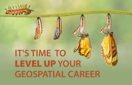
A professional is never satisfied with their past achievements. Rather, they visualize their future to be better than their present. This means they make self-development a priority by continuously learning new skills and enhancing their abilities. Being a geomatics professional is a commitment to life long learning.
Set Learning & Skill Goals
We can set goals for our training plans which fit well with our professional and personal vision. Perhaps, we can use such professional courses to specialize in a branch of Geomatics, or maybe we can acquire industry certifications by absorbing the details of the certification curricula in such trainings. For many employees, the company sponsors them for geospatial training. It enables the organization to develop their staff so that they can solve geospatial challenges internally while employees get to develop their talents further. What better scenario, could employees wish for than having someone pay for their development?
Bullet Proof Your Geospatial Career
Over the long-term, continuously attending trainings transforms a person from a dispensable resource who knows how to do a few tasks, to someone who is able of perceiving problems from new perspectives. Indeed, judiciously incorporating geospatial training and learning in our personal development plans, expands our mind with the passage of time. Eventually, people around us start to acknowledge our expertise when they witness the difference new skills bring to our work. Acquiring skills that are rare or not offered when you were in school is only going to help you become and remain an indispensable team member.
New Skills Opens Career Doors
As we keep ourselves updated with the latest technology, methodologies, trends, techniques, products and services, we develop into the go to person for innovative ideas and advice. As a de facto GIS or geomatics expert in our organization who gets promoted time and again, we become a valuable resource who proposes convenient geospatial solutions saving our organizations time and money. With seniority, we leverage our knowledge to better manage, coach and mentor others by inculcating in them formulas of success, including the role of regular geospatial courses.
Current Options for Skills Upgrade
Becoming obsessed about developing ourselves, in part by leveraging geospatial training, can transform ourselves professionally. Rather than worrying if AI will replace us, why not use all these wonderful company-paid professional courses to become a highly sought-after geospatial industry leader?
A great platform to help relentlessly develop ourselves in GoGeomatics Canada’s GeoTech Training. As we navigate through COVID-19, and face-to-face learning and networking opportunities become scarce, GeoTech Training courses safely and conveniently offered online. Its webinar format allows participants two-way communication, reaping the benefits of an on-site course.
These are the courses on offer for this month.
- Introduction to Remote Sensing Analysis using QGIS – leverage open-source GIS for practical expert-guided sessions of image analysis.
- GIS Project Management Practices – rise above others by learning to managing GIS project tasks, costs and schedules professionally.
- Introduction to Open Source GIS with QGIS – take advantage of this training to put “QGIS” – the most popular open source GIS software package – on your resume.
- How Drones Support Geospatial Data Collection & Applications – become part of the loudest buzz created in the geospatial community by learning about the characteristics and capabilities of drones.
Don’t delay. Ask your employer if they will support widening your expertise. If so register for these course offerings here.


Be the first to comment