
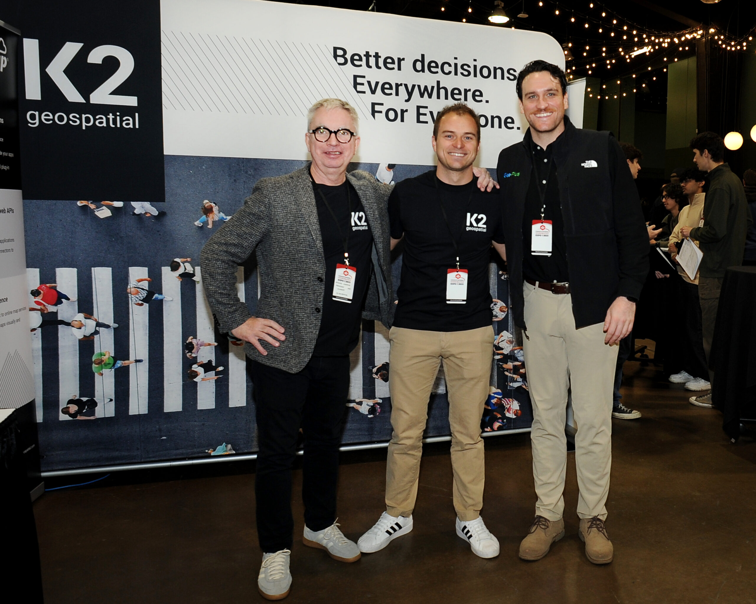
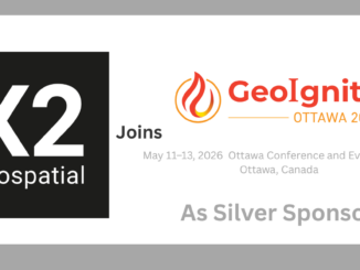
K2 Geospatial has joined GeoIgnite 2026 as a Silver Sponsor, supporting Canada’s national geospatial leadership conference taking place May 11–13, 2026 in Ottawa. Based in Montreal, the company develops geospatial platforms designed to help organizations manage, publish, and integrate spatial data across enterprise systems. Companies building GIS infrastructure and data platforms play a central role in enabling governments and organizations to turn location data into operational insight.
K2 Geospatial is the developer of the JMap platform, a GIS environment used to manage spatial data and deliver interactive mapping applications for a wide range of users. The company has recently expanded this ecosystem with JMap Cloud, a cloud-based geospatial platform designed to host spatial data, manage projects, and connect GIS workflows across multiple tools and systems. GeoIgnite 2026 will take place May 11–13 at the Ottawa Conference and Event Centre in Ottawa, Canada.
JMap Cloud reflects broader discussions taking place across the Canadian geospatial sector around data infrastructure, interoperability, and control over digital systems. The platform supports integration with tools such as QGIS, allows organizations to connect datasets through APIs, and enables teams to manage projects and permissions through a centralized cloud environment. These types of capabilities are becoming increasingly important as organizations expand their use of geospatial data for infrastructure planning, environmental monitoring, and operational decision-making.
“GeoIgnite brings together organizations that are actively building the digital infrastructure behind modern geospatial systems,” said Jonathan Murphy, Founder and CEO of GoGeomatics Canada. “K2 Geospatial’s work in geospatial platforms and cloud-based GIS reflects the kinds of capabilities that are shaping how spatial data is managed and shared across Canada.”
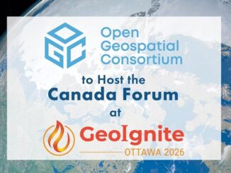
GeoIgnite is Canada’s national geospatial leadership conference, bringing together leaders from government, industry, academia, defence, and Indigenous organizations to explore the technologies, policies, and partnerships shaping the future of geospatial innovation.
GeoIgnite 2026 Sponsors
Gold Sponsor

Silver Sponsors

Bronze Sponsor
Lanyard & Lunch Sponsors

Association Sponsors


Be the first to comment