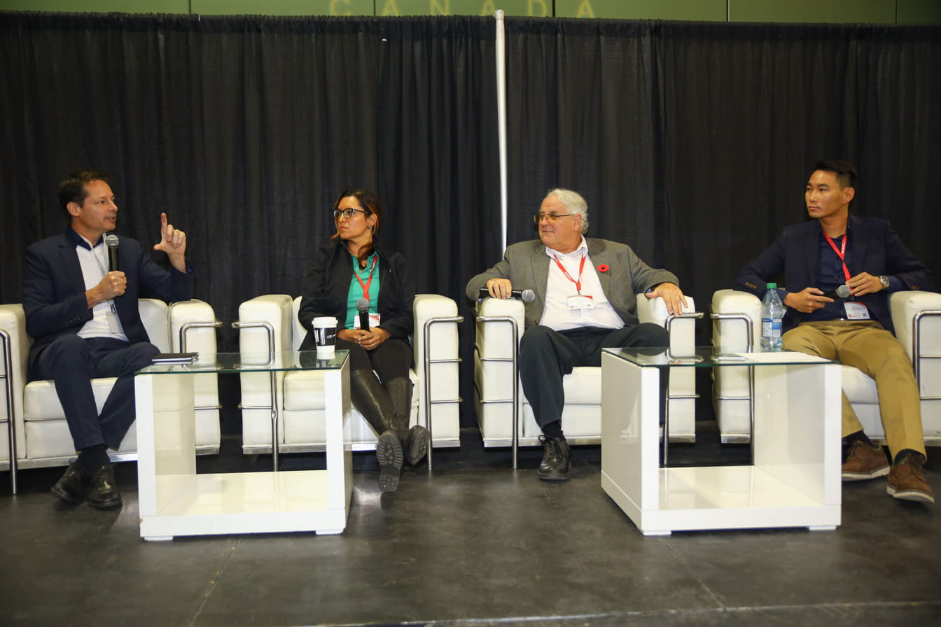
At the 1st ever Geospatial Expo in Canada hosted by GoGeomatics, I was privileged to moderate the LiDAR CANEX panel. The panel was joined by Dr Tim Webster a research scientist from Nova Scotia Community College’s (NSCC) Applied Geomatics Research Group, Jennifer Triana, Business Development Director of TopoDot and Michael Sitar, Managing Director of Rigel Canada. With major representatives from the applied research, software and hardware spheres of the LiDAR industry, a lively debate was about to happen on current and future trends in LiDAR.
Starting with acknowledging how fast the lidar industry has matured, the panelist agreed that “back in the day” obtaining 1 point per square meter was very satisfying at that time. Today, point density can range from 10 to 3000 points per square meter depending of hardware, flying height and the data collection environment. In addition, waveform LiDAR is also gaining traction in industry.
With complex and large amounts of data being collected, the conversation moved towards the questions of “what do we do with it?” and “how do we process it?”. Gravitating to the software sphere in the LiDAR industry with a noteworthy mention of developing data hosting capabilities, industry’s “favorite buzzword” AI surfaced. Touted as the chief solution to automation, the panel explored what exactly did that mean?

Firstly, we discussed what does automation look like in the LiDAR world and issues such as routine classification of a point cloud and feature extraction methods were mentioned as broad objectives which computer vision and Machine Learning (ML) technics could be used to achieve these. With such advanced topics being discussed, we explored the challenges with training a computer to handle these advanced processes and a common phrase in the AI sphere was brought up “garbage in garbage out”. This led to the exploration of noise and it causes.
Noise in LiDAR can result from various factors, categorized into two main types: hardware issues and environmental factors during the data collection. Hardware, generally points towards the manufacturing quality of the sensor and how much research and development was undertaken to understand the mitigation of errors and the physical properties of the laser within a system. Environmental factors during data collection, can range from rain, snow, flying too high or fast, operator blunders to smoke.
Pivoting to advances in bathymetric LiDAR, we discussed advances in blue, green and infra-red laser technologies and how they are employed to penetrate the water column but also detect the water surface. With the interest in measuring the water column, a chief factor affecting the measurements was water turbidity.
With topics ranged from how far has LiDAR come since its commercial availability, what industry demands spurred its development, the role of Artificial intelligence (AI) in LiDAR and bathymetric LiDAR challenges, the discussion was an informative and lively one. In addition, the gathering of Geospatial professionals across North America in Calgary will spur crucial knowledge sharing sessions such as the LiDAR CANEX panel.


Be the first to comment