Community
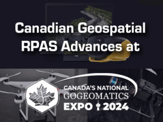
Canadian Geospatial RPAS Advances at GoGeomatics Expo
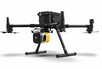
Just over a decade ago, the DJI phantom 1 was released which only had a GoPro Camera. A few years later, the DJI phantom 3 hit the markets. Coupled with PIX4D and various other photogrammetric […]