Technology
INSITE Lifecycle Project Tracker Enables & Delivers Real-Time Data Updates
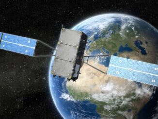
When conducting Lidar surveys, efficiency and success are determined to a degree by conditions outside of the surveyors’ control. The best-laid plans can sometimes be delayed by inclement weather conditions, as wind, rain and fog […]