
During a recent visit by Tomas Hjelmberg to the Department of Geodesy and Geomatics Engineering at the University of New Brunswick, an agreement was reached for QPS to help sponsor the Chair in Ocean Mapping for the coming five years.
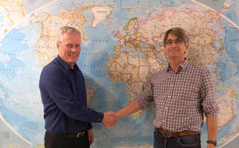 Tomas Hjelmberg (left) and John Hughes Clarke (right) during the recent visit by QPS to the Department of Geodesy and Geomatics Engineering. Photo: Danny Neville, 22 October 2014
The Chair in Ocean Mapping, held by Prof. John Hughes Clarke, works within the Ocean Mapping Group, which draws upon UNB faculty and staff with expertise in the fields of hydrography, geodesy, geographical information systems, digital image analysis, multi-sensor integration, oceanography, and marine geology and geophysics. While ocean mapping is defined in its broadest sense (including the water column, sea surface, and sea bottom), the main efforts have been directed to seafloor mapping particularly towards problems associated with high-volume seafloor bathymetric and imaging systems.
UNB research is focused on developing new and innovative techniques and tools for management, processing, analysis, visualization, and interpretation of ocean mapping data. The ability to establish mutually beneficial relationships with sponsors remains one of the key factors to the continued success for the Ocean Mapping Group. In carrying out research, UNB seeks to define tasks that play an important fundamental role in furthering our understanding of the ocean and ocean mapping systems, but at the same time may lead to viable commercial products for sponsors.
QPS, a Dutch subsidiary of SAAB, is focused on system integration of survey sensors and the development of software applications used for hydrographic surveys, sea-floor mapping, portable pilot units and the production of electronic navigation charts. With its main office in Zeist, The Netherlands, it has offices in Fredericton, New Brunswick; Portsmouth, New Hampshire; and Banbury, U.K.
The QPS product range includes the industry-leading Fledermaus software suite, originally developed at UNB.


Be the first to comment