sensor
Student Passion for Geography and the Google Summer of Code
GoGeomatics has reached across the Atlantic to interview one of our new geospatial contributors in Europe. Join us as we…
Google Earth Engine – What is a Data Cube and Why Canadians Should Care
What is a data cube and how is it used for big data analytics? How does a data cube work…
UAV Surveys – How to Ensure Accuracy and Precision
For the past four years, I’ve been involved with the capture and delivery of data derived from drones. My experience…
Free Satellite Imagery For You: Sentinel 1 & 2
Sentinel constellations and data products As the ENVISAT program is coming to an end, the European Space Agency has begun…
GNOSIS – A New Geomatics Software Suite
Creating a new GIS from scratch is a tough undertaking. It involves a lot of innovation. Ecere, a Canadian company…
Event Recap: COGS & CIG & GANS Cooperate for Mapping Workshop
The Canadian Institute of Geomatics (CIG) Nova Scotia Branch and the Geomatics Association of Nova Scotia (GANS), two regional professional organizations that foster the application of geographic information within the geomatics sector recently collaborated to host a high resolution mapping workshop at the Centre of Geographic Sciences (COGS) in Lawrencetown, Nova Scotia.
Geospatial Earth Observation Using Blimps, Balloons and Kites
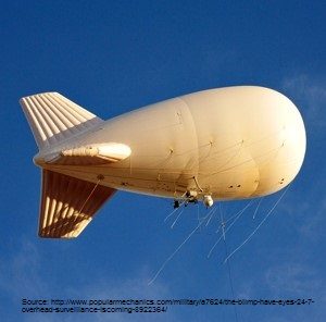
These days drones are all the rage. Nevertheless, there are other ways to collect data from the sky! Blimps, balloons and kites…
Canadian Geomatics Innovation: Ecere Develops a Next Generation GIS
Not many companies undertake the ambitious goal of creating a new geospatial software suite from scratch. Ecere, a Canadian company…
A List of Geospatial Open Data Resources in Canada
Recently, I read an article about the Canadian Geospatial Data Infrastructure (CGDI) that seeks to explain why the CGDI, among many…
Predicting the Future of the GIS in Canada
Editors note: This article has been jointly written by Bruce McCormack and Gordon Plunkett. Bios can be found at the…
New Brunswick: CARIS Announces release of HIPS and SIPS™ 10
Fredericton, NB, Canada – November 01, 2016 – Teledyne CARIS™ is pleased to announce the release of HIPS and SIPS™ 10.…
CCMEO: GeoConnections Funding Geomatics Projects for 2016-2018
For this announcement, GeoConnections is focusing funding towards projects that address the following themes: -Innovative adoption and further development…


