
The Constantly Changing World Provides Information Challenges
Geographer, Briana Brown from SafeGraph, recently presented via livestream at Canada’s National Geospatial Conference, GeoIgnite, Winter Geo. Brown holds a Master’s degree in Geographic Information systems and a Bachelor’s degree in Geography. Her topic of “Accurate Geospatial Analysis for a Dynamically Changing World” gave insightful explanations and information strategies to help businesses keep up-to-date data on hand.

SafeGraph is a geospatial data company with its entire focus on data about the physical world for uses across worldwide industries. The company collects monthly, high-quality data on places, geometry, patterns, and spending. Accurate POI data matters. Businesses rely heavily on applications to gather data.
Brown noted organizations are relying on geospatial analysis more and more to make decisions and in business processes. With the world rapidly changing, getting accurate information is increasingly difficult. When changes such as operating hours, opening and closing of businesses, or even name changes, cause maps, models, and applications to become instantly obsolete.
With the question of how we can create strategies when the data is always changing, Brown spoke about the challenges of handling stale data, sourcing POI data criteria, and how to apply recent geospatial data to business strategies. She then discussed Places, the flagship data set that is the basis of all their other data sets.
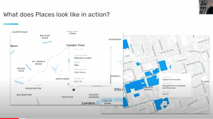
Now, SafeGraph has officially launched around the globe. Any POI can be analyzed, anywhere. SafeGraph is always adding POIs for any brand. Brown discussed how Places is used, the data it collects, and what it looks like in action.
You can download a custom CSV, request bulk access, and enterprise pricing.
A deep, heartfelt thank you to SafeGraph, a Gold Sponsor for Canada’s National Geospatial Conference, GeoIgnite, Winter Geo.
An engaging Q and A session followed the SafeGraph livestream. You can watch this entire presentation on Youtube below.


Be the first to comment