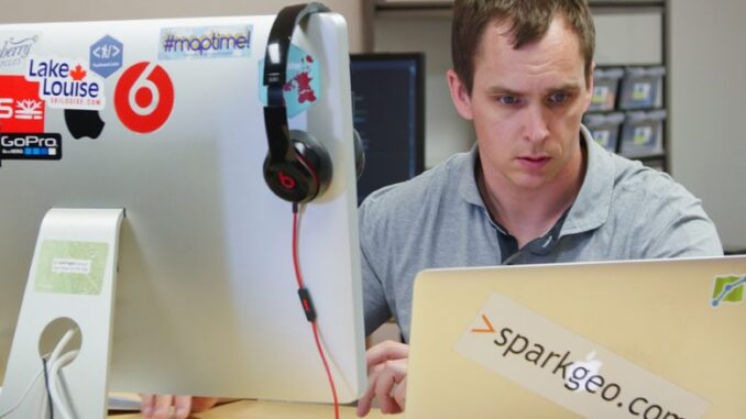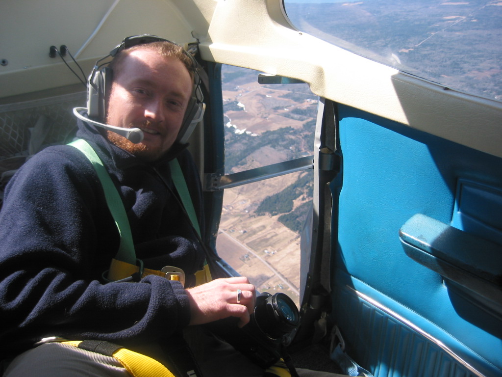

GoGeomatics: Hi Will. Thanks for taking the time to talk to the GoGeomatics community. You’re a successful geospatial entrepreneur with a thriving business. Before we dig in we’d like to get to know you as a person a bit better. Where did you grow up and how did you get into the geospatial sector? What drives you? Why British Columbia?
Will Cadell: I grew up in Edinburgh and studied in Aberdeen. My wife and I came to BC for a big adventure 12 years ago and we haven’t gone home yet. Now that we have 3 Canadian daughters I don’t think we will go back to Scotland anytime soon! I studied Electronic Engineering at Aberdeen, then did a Master’s in Environmental Remote Sensing, I’ve been making maps ever since. In Scotland, I did a bit of government science and municipal GIS. Once over here I fell into the forestry sector, where I learned how private companies work. In 2010 it was becoming increasingly clear to me that maps should be put on the internet, and the people working on those problems were typically in the Valley. So I started Sparkgeo so I could contract professionals in the Silicon Valley start up scene, and haven’t really looked back. I freelanced for a few years, then I hired our CTO, Dustin Sampson, whom I’d worked with before, and since then we’ve been growing at a steady pace.
GoGeomatics: Let’s get in the way-back-when machine. What was your very first geospatial job or project? Can you describe it?
Will Cadell: I was a spatial modeller for the Macaulay Land Use Research Institute. It was actually an amazing job where I was able to write a bit of code and tie a lot of technologies together. I even got my name of a couple of remote sensing papers and occasionally got to ground truth some RADAR. Interestingly, that was where I started deconstructing remotely sensed images into numeric arrays in S-Plus, which is loosely similar to R. We’re actually still doing similar things now inside Jupyter notebooks, just at a much more significant scale.
GoGeomatics: What is Sparkgeo? What was the genesis for it?
Will Cadell: I started Sparkgeo to initially satisfy a contract with a non-profit start up in San Francisco. I needed a business to be able to bill a US entity. I was in a corporate job, managing IT for an environmental consulting company. But an opportunity had emerged and ludicrously, it felt about right. Even with pay cuts, long nights and a (very) young family at the time, it still felt like the right thing to do. Things seemed to have worked out.
In essence Sparkgeo has always been about putting maps on the internet. To do that well we learned to build full stack web applications. Our team has become very fluent in AWS, various web frameworks and numerous storage environments, knowing that to do a good job of geo, you need to influence the entire stack of technology that supports it.
In the last few years we have been involved in more and more remote sensing projects. This is interesting because after having left my job as a spatial modeller and dabbling a little in the forest sector, it had seemed that remote sensing had become a cumbersome undertaking and close to untenable as a commercial undertaking. These days remote sensing has become a much more accessible activity. Indeed, it is just about ready for full commercial exploitation.

GoGeomatics: What is your team like? Do you have a central office or are you dispersed?
Will Cadell: We have an office in Prince George. But we have many more staff members that are remote. We are a remote-first company. I feel that people should be able to live in a place for their lifestyle values, not because an office is in a particular city. This attitude means that no-one in Sparkgeo has a ridiculous commute. To me commuting is a complete waste of humanity. As knowledge workers, do we really need to go to a workhouse every day? What an eighteenth century habit!
We are lucky because most of our clients are remote from us, so being remote from each other is not a big leap. Indeed my first hire, Dustin, was remote. Being remote is just part of our culture.
The funny thing is, many clients that we work with can easily think we are just in a different company campus in the Valley somewhere, but we’re actually a few thousand kilometres North. Being in the same time zone as the biggest technology community on earth helps a lot though.
GoGeomatics: A good way to get to know a company is to know who they work with. Can you tell us a bit about your customers and why they work with you?
Will Cadell: We work with technology companies and non-profits. We’ve worked with some of the biggest brands in technology and regularly work with satellite companies, Big Ag, and social networks.
Sparkgeo is also geospatial-technology agnostic, meaning that we get to provide unbiased advice around build vs buy choices, and technology choices. Being agnostic does not mean we are not opinionated, but that our opinions are overtly user-centric. We build custom geospatial software.
Our clients love us because we listen. Our opinions and resulting products are based on our client’s problem set and their constraints.

GoGeomatics: What is Maptiks? Why should everyone that does web-mapping use it?
Will Cadell: At Sparkgeo we’ve been at the intersection between web people and geospatial people, often acting as a professional translation layer between the two. We’ve observed the practices of each group and saw that while the web community cares very deeply about how people use their products, geo people seem more to focus on functionality and features rather than studying user experience. In short, web people will release products then look at the analytics associated with how those products are converting, and geo people simply wouldn’t. We felt there was a gap there and the geospatial web community would likely benefit from seeing how their products were performing. We actually wanted to know how our own maps were doing, so we built a tool to tell us: Maptiks.
Think of Maptiks like Google Analytics for a web map. We focus on activity inside the map itself, by listening to and recording pans, zooms and clicks, then assembling that data into a dashboard for the map builder to better understand their users.
Maptiks has actually become a much more interesting tool than just geospatial UI support. Indeed, now we are in a position to provide an extra layer of domain-specific market intelligence. For instance, when Maptiks is added to a realty map, it provides a map of the “hot” neighbourhoods people are looking at.
GoGeomatics: As a geospatial leader in Canada, we’d like to ask you your thoughts on a piece of recent news. Canada fell from 4th to 7th place on the list of Geospatial readiness. What do you think about that? Should the geomatics community in Canada be concerned?
Will Cadell: I think that’s unfortunate. Additionally, I’m not sure it rings true with our experiences. We are seeing a lot of activity in geospatial and some of it is coming out of traditionally non-geo sectors like banking. We do much of our work in the US, but I would point at relatively new companies like Echosec, Fleetrover and Placespeak who are overtly geospatial and doing well in Canada. In terms of ‘corporate readiness’, I think the study is interesting, and perhaps misses some of the amazing projects being undertaken at a Provincial level. I would point at AddressBC with their open source geocoder and BC’s Digital Road Atlas as examples. In my opinion Canada has generally punched far above its weight in geo, but if we need some encouragement to do more, then so be it!
GoGeomatics: What is in store for the future of Sparkgeo?
Will Cadell: More. Bigger. Faster. We are overtly looking at Europe as a future market. We also see more geospatial analytics in our future and we’ll be pushing Maptiks hard too.
GoGeomatics: Before we finish up would you share one of your favourite web-mapping sites with the community? Is there a site out there that makes you go “Wow, they did that right!”
Will Cadell: I’ve been enjoying the data viz-tools coming out of Uber (deck.gl etc). Recently, we’re also watching MapD for blazing fast graphics accelerated visualizations. There is some great work coming out of Azavea, and both Planet and DigitalGlobe are creating amazing sources for insight creation. The geospatial sector is on fire, we are very lucky!


Be the first to comment