3D modeling
Geospatial Industry Trends and Developments that Defined 2024
The geospatial industry continued to evolve rapidly in 2024, driven by technological advancements and the increasing need for accurate and…
LidarCANEX 2025: Shaping the Future of Lidar and Reality Capture
Mark your calendars! LidarCANEX 2025, Canada’s premier Lidar Commercial Expo, is set to take place online on January 29-30, 2025.…
The CanSLAM Circuit: Advancing Geomatics Through Innovation and Collaboration
What an incredible time to be a mapping professional! Infrastructure the world over continues to change for the better (and…
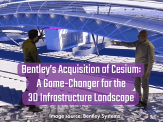
Bentley’s Acquisition of Cesium: A Game-Changer for the 3D Infrastructure Landscape
Bentley Systems’ acquisition of Cesium, a leading platform for real-time 3D geospatial data, marks a significant milestone in the convergence…
Where reality capture’s been, where it is today and where it’s headed, from a 20-year veteran
For a man who was not that enthusiastic about reality capture 20 years ago, Jesús Bonet, survey engineer and…
GeoIgnite 2024: What’s new and exciting this year?
I’m excited for GeoIgnite 2024. After five years of anticipation, the first in-person GeoIgnite is finally taking place in Ottawa.…
2023 Going Digital Awards Finalists for Innovation in Infrastructure
Finalists for the 2023 awards have been announced, and it’s time to highlight a few of our “hot picks”… The…
Celebrating Earth Day with Conventional and Unconventional Applications of Geospatial Technology: Part 2
3 Unconventional Earth-friendly Applications of Geospatial Technology After talking about some of the more conventional methods of implementing geospatial technology…
Digital twins and sustainable mining: A look at 3D modelling with Leapfrog Geo
From underground infrastructure mapping to smart cities preparing for natural disasters, digital twins are becoming an important part of geospatial…
Geosystems France Discusses Initiative to Reduce Damage to Underground Utility Networks
The DT-DICT Is Reducing Damages Patrice Lemire, Directeur General Geosystems France, was the keynote speaker for the March 22, 2022,…
Canadian Geospatial Briefing March 29th: Bringing 18th Century Fort to Life; Self-Driving Shuttle Bus; New Integration Within Cityworks Platform; University of Sherbrooke receives more than $28 million for artificial intelligence research; Real-time water levels now available on district web mapping portal in Muskoka, Ontario; Whole new agricultural revolution
Archaeologist Brings 18th Century Fort to Life with LiDAR and 3D Modeling. Dr. Jonathan Fowler, a Canadian archaeologist at Saint…