Acadia University

Annapolis Community Mapping April 13 at COGS

1866: a twenty three year old blacksmith from rural Annapolis County who  could neither read nor write. 1888: a five…

High Resolution Mapping Along the Coastal Zone Workshop

Event Recap: COGS & CIG & GANS Cooperate for Mapping Workshop

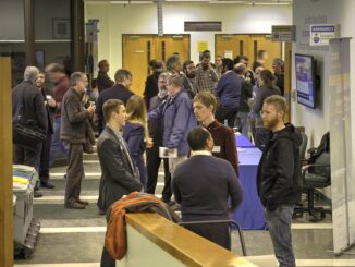
The Canadian Institute of Geomatics (CIG) Nova Scotia Branch and the Geomatics Association of Nova Scotia (GANS), two regional professional organizations that foster the application of geographic information within the geomatics sector recently collaborated to host a high resolution mapping workshop at the Centre of Geographic Sciences (COGS) in Lawrencetown, Nova Scotia.

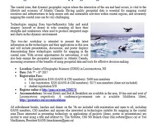
Feb 7-8: Two Day Workshop on High Resolution Mapping Along Coastal Zones

The coastal zone, that dynamic geographic region where the interaction of the sea and land occurs, is vital to the…

A Tale of Two Communities

After the Atlantic Canadian Association of Geographers (CAG) workshop: Geography Education (previous blog: http://wp.me/p2586i-4xP), I have a renewed enthusiasm for…

Remembering Roger Tomlinson & Early History of GIS in Canada

It’s two years now since Roger Tomlinson passed away.  Roger’s and my career path have crossed several times over the…

Dave MacLean: GIS Faculty, COGS Advanced Diploma in Geographic Sciences

GoGeomatics Canada is talking to Dave MacLean – a member of the GIS Faculty at the Centre of Geographic Sciences…

Project Manager – LIDAR Surveying

Find out what a Project Manager role with a LIDAR data Acquisition company is like and how you could get yourself into the LIDAR survey business. A very exciting and dynamic role for young people to keep up to date with changing technology and also have a chance to see the world while getting paid to do it.