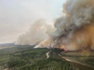
Alberta Wildfire
Canadian Geospatial Digest September 18th, 2023
Satellite Technology and Real-Time Water Sampling Enhance Blue-Green Algae Research in Alberta Two pioneering Canadian drone companies collaborate to fight…
Canadian Geospatial Digest September 4, 2023: Wildfire Edition
Tracking the dimensions of the record-breaking wildfires in Canada Strengthening Canada’s Wildfire Management with WildFireSat Adding drones to the fight…
Canadian Geospatial Digest May 29th, 2023
Why are hazard maps still lacking in NWT communities? Alberta wildfires are depicted on a digital map in near real-time.…