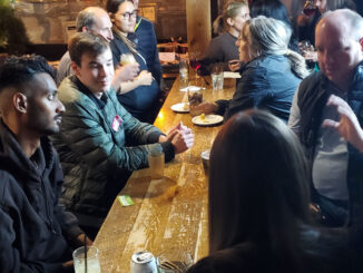
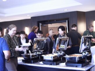
Kelowna GoGeomatics Meetup – ArcGIS Pro Imagery Presentation & Social
We will begin with a presentation by Jeff Petillion at 5:30 pm on Tuesday March 19th in Meeting Room 3…
We use cookies to help you navigate efficiently and perform certain functions. You will find detailed information about all cookies under each consent category below.
The cookies that are categorized as "Necessary" are stored on your browser as they are essential for enabling the basic functionalities of the site. ...
Necessary cookies are required to enable the basic features of this site, such as providing secure log-in or adjusting your consent preferences. These cookies do not store any personally identifiable data.
Functional cookies help perform certain functionalities like sharing the content of the website on social media platforms, collecting feedback, and other third-party features.
Analytical cookies are used to understand how visitors interact with the website. These cookies help provide information on metrics such as the number of visitors, bounce rate, traffic source, etc.
Performance cookies are used to understand and analyze the key performance indexes of the website which helps in delivering a better user experience for the visitors.
Advertisement cookies are used to provide visitors with customized advertisements based on the pages you visited previously and to analyze the effectiveness of the ad campaigns.
My introduction to geomatics came through a required introductory GIS course during my undergrad. This course taught the basics of…
The Canadian geomatics community is moving into high gear for Canada’s National Geomatics Expo 2024, we are ready to unveil…
iNaturalist Data Now Available in ArcGIS Living Atlas Felt 3.0 Enhances Enterprise Geospatial Technology NASA Maps Scorching Pavement in Phoenix…
New Map Shows Geothermal Energy Potential SWOT Transforms Flood Forecasting AI Mapping Helps Plan for Climate Change Moon Mapping Could…
How Indigenous companies are bringing high-tech solutions to the forest sector GIS in Mining: Strengthening Indigenous Communities Flood risk mapping…
We will begin with a presentation by Jeff Petillion at 5:30 pm on Tuesday March 19th in Meeting Room 3…
The GoGeomatics volunteer editors and writers have selected the most significant stories from 2023 to share and highlight as we…
In the dynamic landscape of technology, the integration of robust tools becomes a pivotal factor in driving innovation and efficiency…
ArcGIS GeoBIM proves critical for Peruvian megaprojects Taylor Geospatial Institute increases hiring Growing the Australian geospatial industry Mapping USA’s food…
Making investments in energy-modelling tools to bolster efforts in reducing emissions “Open Urban Forests” The First National View of Urban…
Canadian wildfires, Smoke map, hotspot map, fire intensity, and more An immense underwater mountain off the coast of British Columbia…
Google Geospatial Creator: Turning the world into AR stage. IBM’s new Geospatial foundation model could help monitor the earth’s climatic…